 2D · 3D
Mapping and photogrammetry
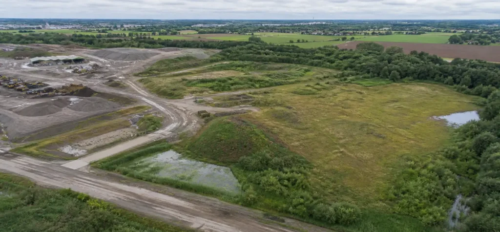
Orthophotos, point clouds and terrain models as a measurable basis for design, checks and communication.
GeoTIFFLAS/LAZOBJ
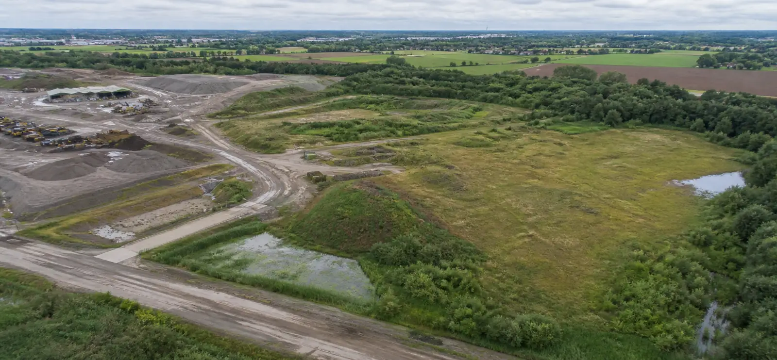
A drone is not the end product but an efficient measuring and communication tool. SEBAS turns site captures into information that fits your project.
2D · 3DOrthophotos, point clouds and terrain models as a measurable basis for design, checks and communication.
 CAD · GIS
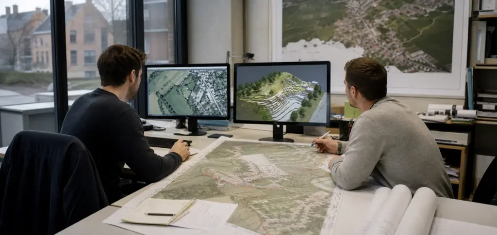
From point cloud or orthophoto to usable linework and site information for CAD, GIS or site planning.
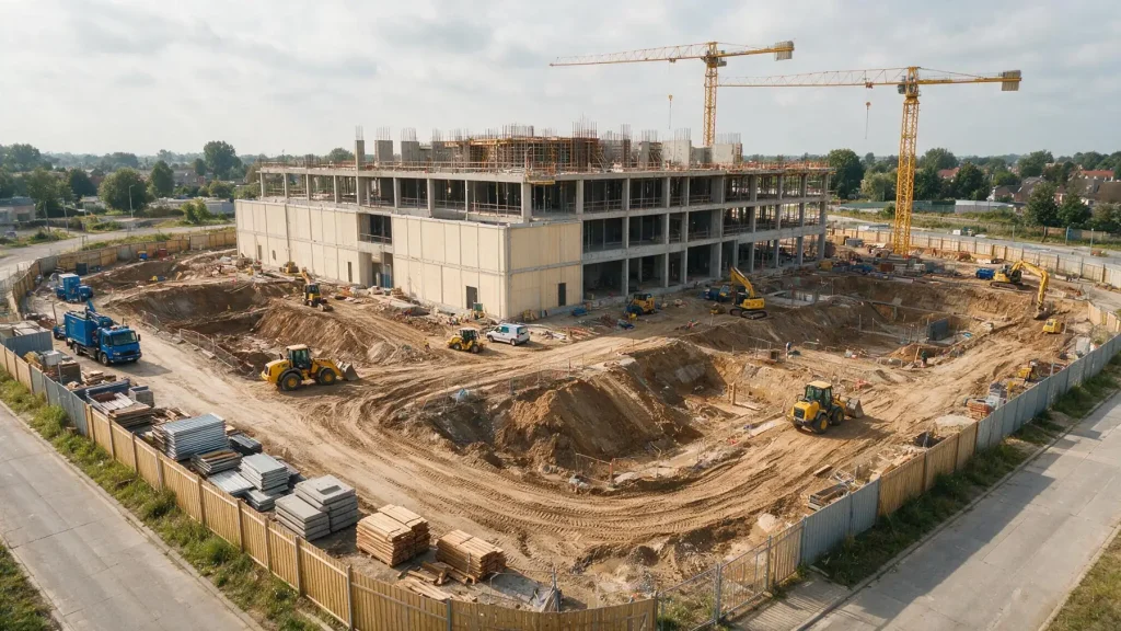 Timeline
Capture the same site at fixed moments: compare progress, spot deviations early and look back later.
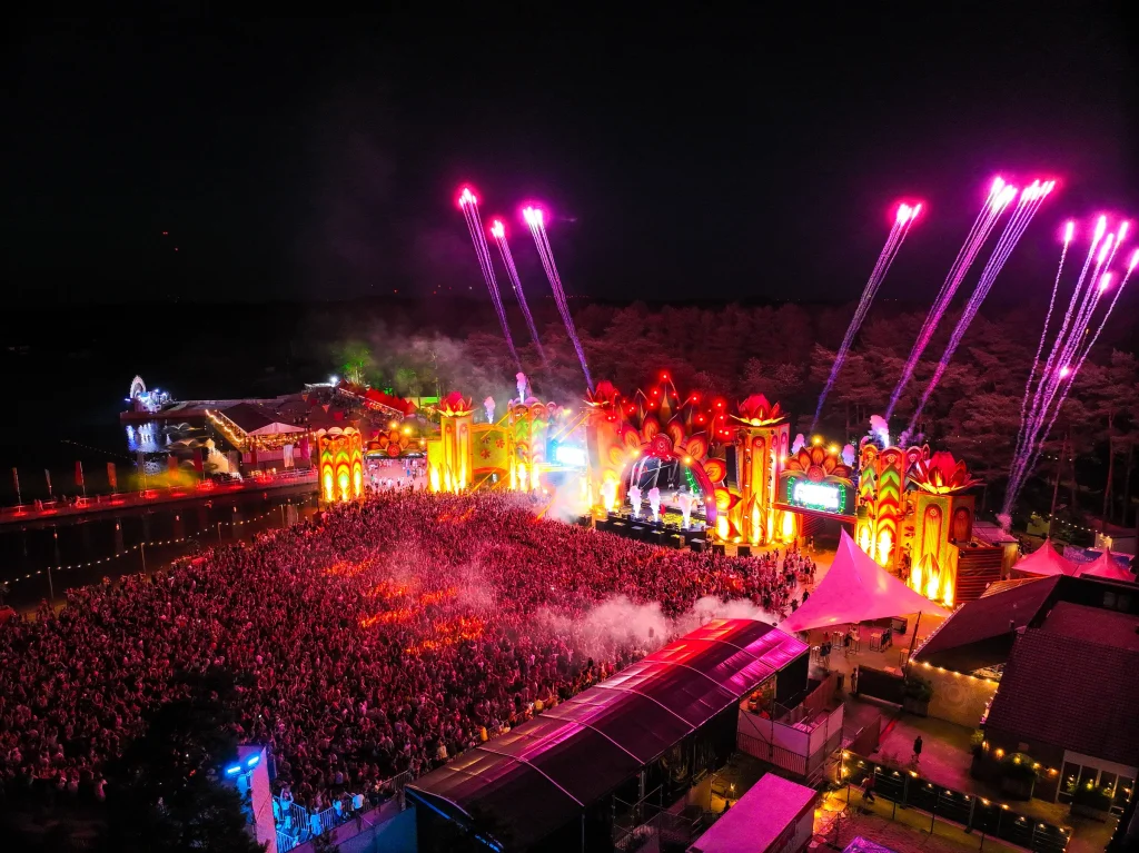 Live
LiveLive overview at events and temporary sites for fast decisions — within the applicable regulations.
We agree in advance what you need. The goal decides the capture method — not the other way round.
Goal, site, required accuracy and final format are fixed before anyone flies.
A safe flight with RTK positioning, and ground control points where needed.
The capture is checked and converted into the agreed products and formats.
You get files that fit your project and software — not a folder of raw photos.
We agree the right exchange format in advance, so you open point clouds, orthophotos, linework or meshes directly in your own CAD, BIM, GIS or visualisation workflow.
It depends on the question: an orthophoto (a measurable aerial image, e.g. GeoTIFF), a point cloud (LAS/LAZ), a 3D model (OBJ), a terrain model or linework for CAD and GIS (DWG, DXF). Everything can also be shared in an online viewer, so the whole project team sees the same picture without installing software.
That depends on flight height, capture and control. With RTK positioning and surveyed ground control points, SEBAS typically achieves a few centimetres; accuracy is checked on independent checkpoints and reported. For measurements with legal value (e.g. boundary surveys), SEBAS works with a certified land surveyor.
The coordinate system and formats agreed in advance, so the data fits straight into your CAD, GIS or planning software. Just mention what your team uses in the project request.
It depends on the area and the requested output. For festival sites, an evening flight was processed into an updated overview for the production meeting the next morning. We agree on a concrete timing with every request.
Every flight follows the applicable European and Belgian drone regulations. Where needed, authorisations are requested and agreements are made with the client or organiser on zones, timing and safety.
Every site is different: the price depends on area, number of flights, requested output and processing. Describe your question in a few minutes through the project request and you receive a tailored proposal.
Share location, area, timing and the output you want. You don’t need to know the technical solution yet.
Every flight is logged and safety-checked through Airdata UAV: 560+ flights and 2,100+ km, with EU certificates A1/A3 and A2.
View the drone certificate (opens in a new tab)