From terrain to insight.
Function driven • Visually given
Current, usable site data for contractors, engineering firms, site managers and production teams. Technically sound, clearly delivered and visually strong.
Data you can
actually work with.
A drone is not the end product but an efficient measuring and communication tool. SEBAS turns site captures into information that fits your project.
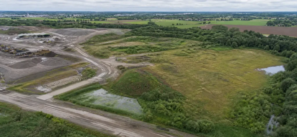 2D · 3D
Mapping and photogrammetry
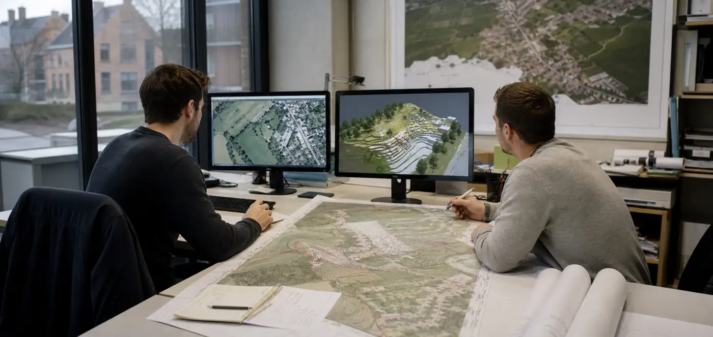
Orthophotos, point clouds and terrain models as a measurable basis for design, checks and communication.
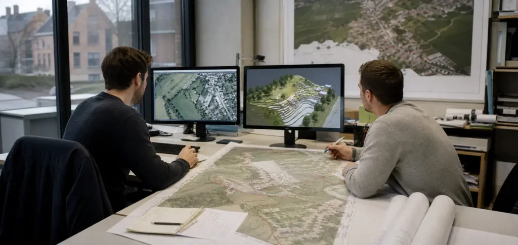 CAD · GIS
Linework and site intelligence
From point cloud or orthophoto to usable linework and site information for CAD, GIS or site planning.
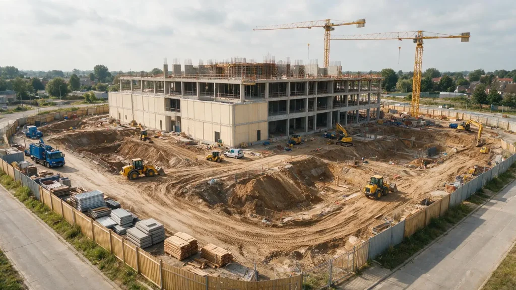 Timeline
Monitoring and progress
Capture the same site at fixed moments: compare progress, spot deviations early and look back later.
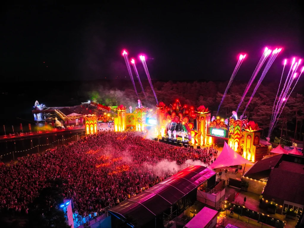 Live
LiveLive drone view
Live overview at events and temporary sites for fast decisions — within the applicable regulations.
Every location,
clearly captured.
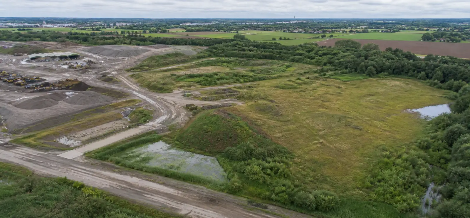
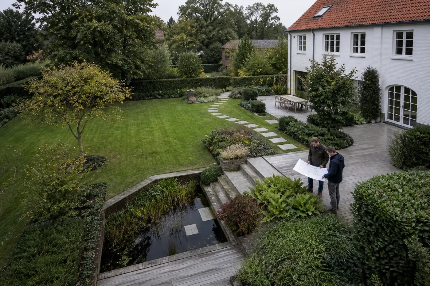
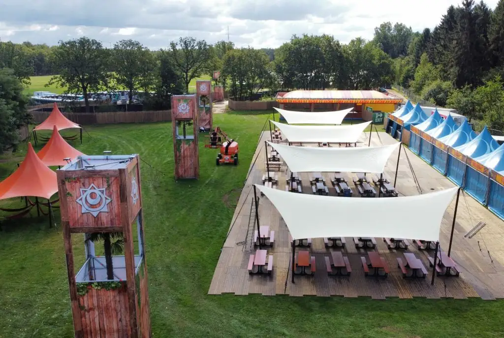
From a construction site, garden or festival ground to a historic church: every location asks different questions. Capture and output follow what you want to design, plan, check or preserve.
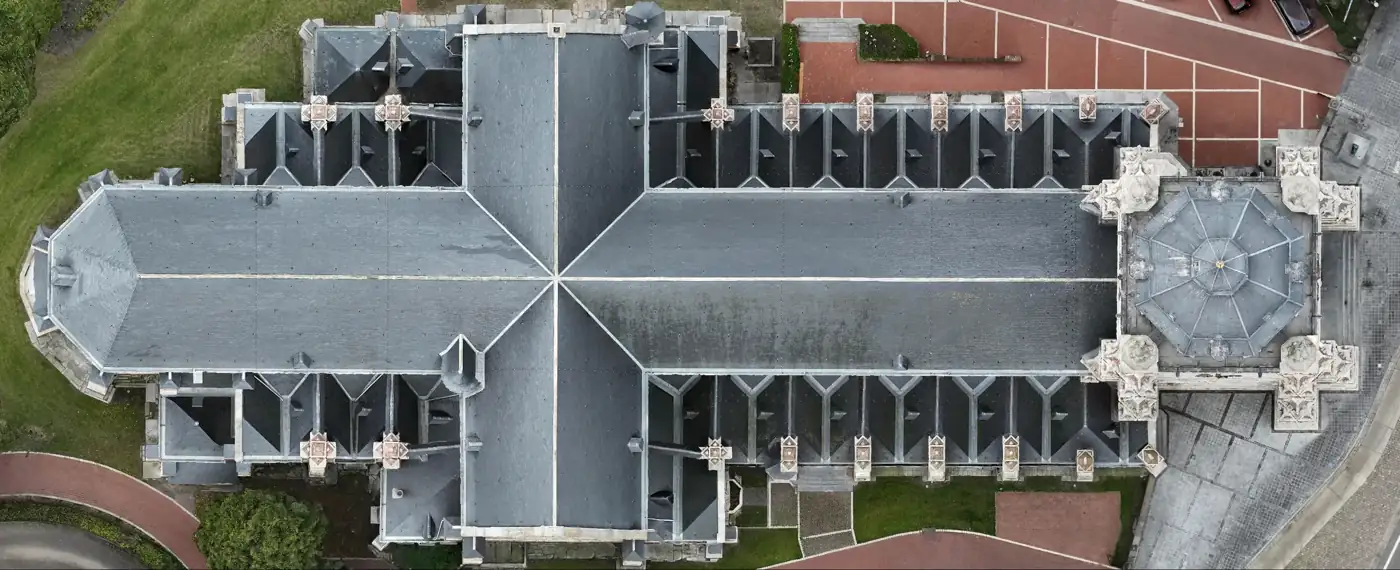 Site progress
- 01
Contractors
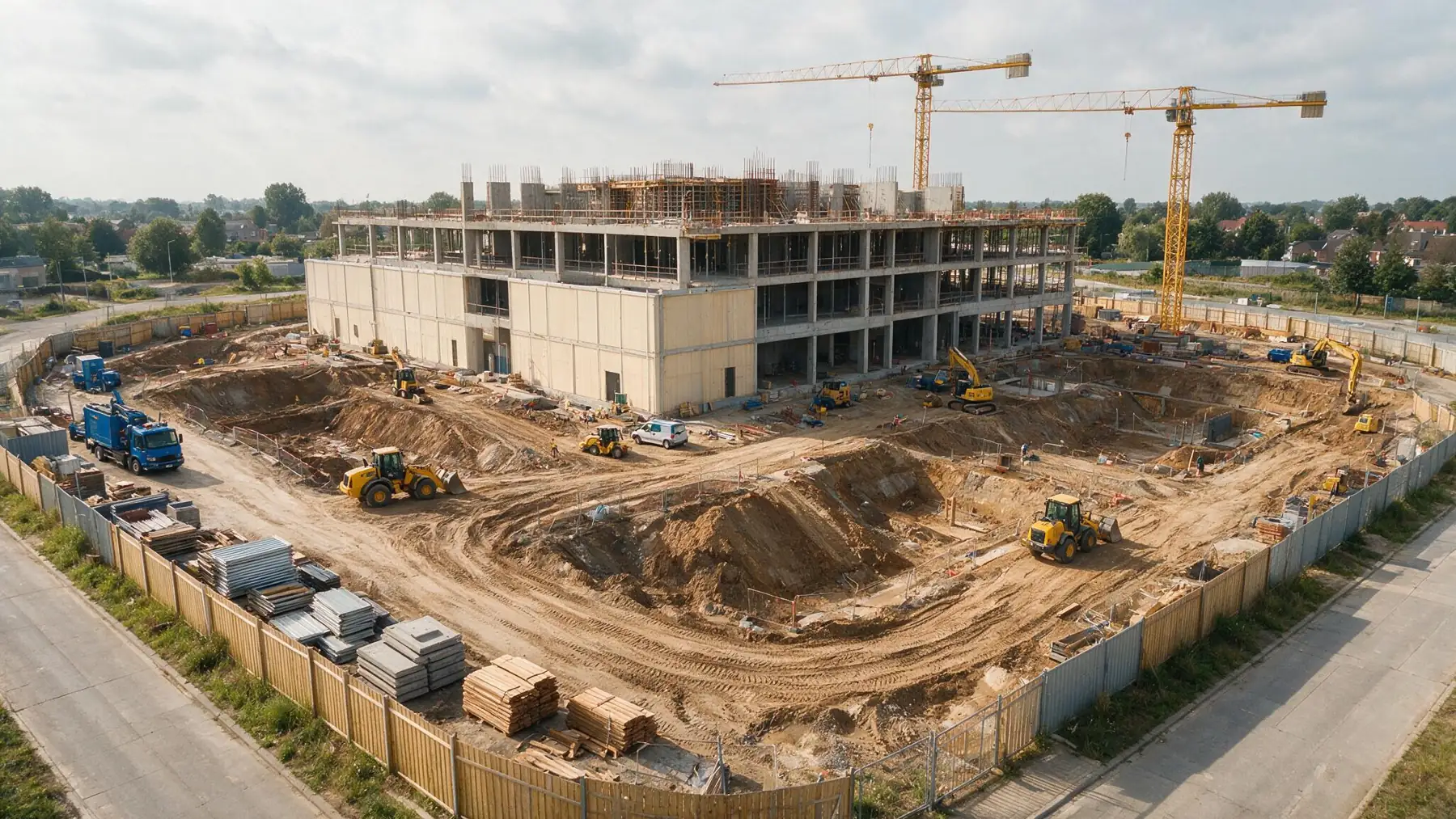
Progress and deviations visible sooner, from groundwork to handover.
- 02
Engineering firms
Verifiable site input in the agreed coordinate system and format.
- 03
Site management
Large sites clear and comparable over time.
- 04
Landscape architects
A current design basis with existing conditions and slopes.
- 05
Festivals and events
Build-up, space checks and as-built of a temporary city.
- 06
Heritage
Visual documentation and 3D capture of buildings.
Real captures.
No simulations.
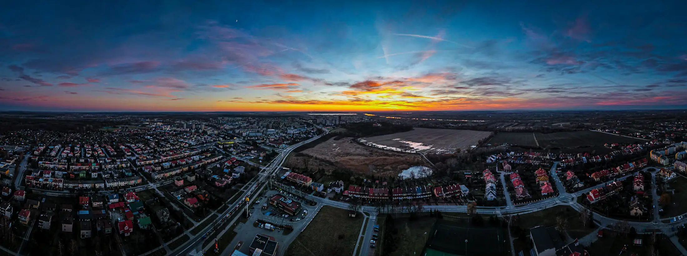
Images from our own assignments: festival sites under construction, heritage up close, terrain in transition.
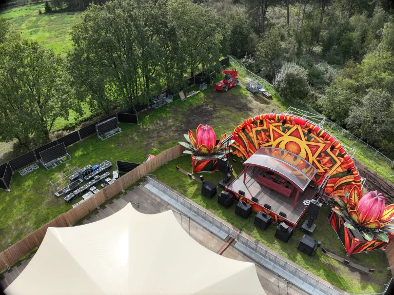 Sunset Festival 20262026 · Drone mapping · As-built capture
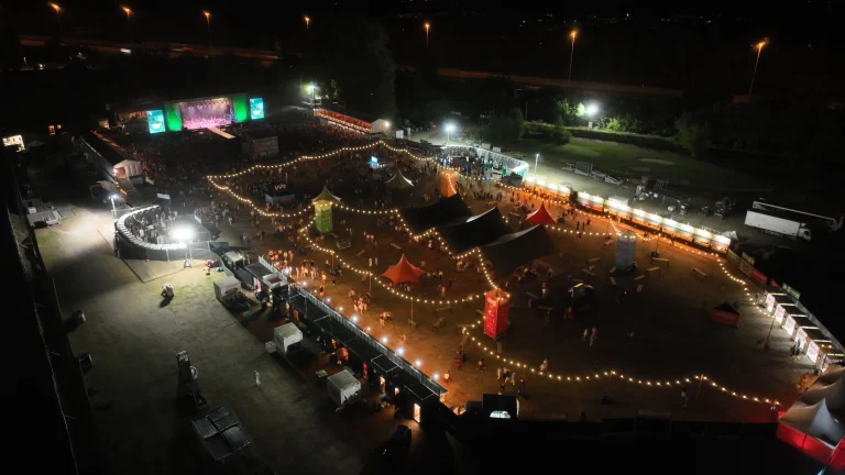 Fairway Festival 20262026 · Drone mapping · Site planning · Technical print preparation
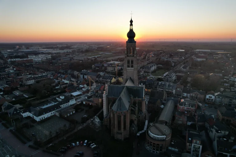 St Catherine’s Church Hoogstraten2026 · 3D reconstruction · Heritage documentation
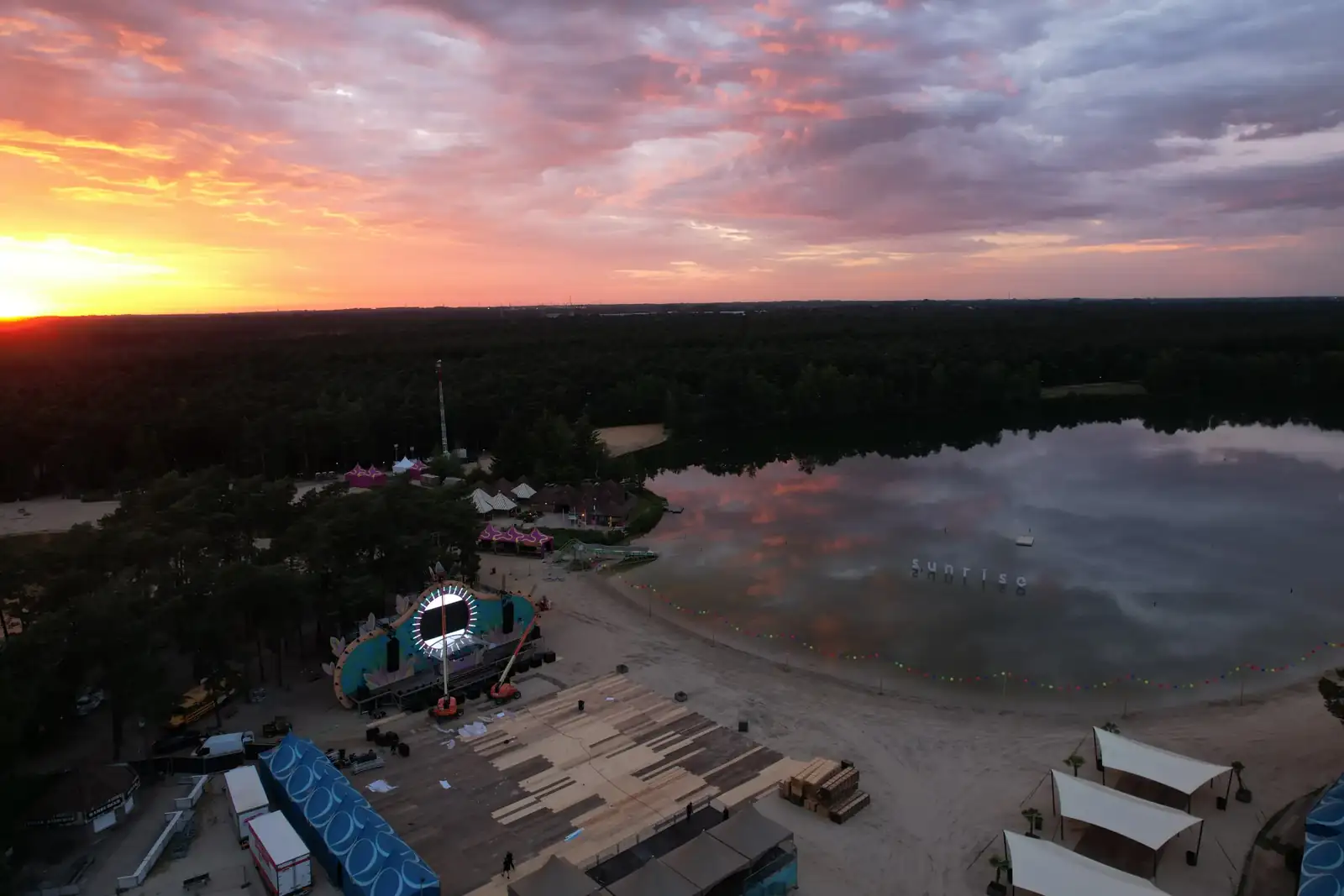
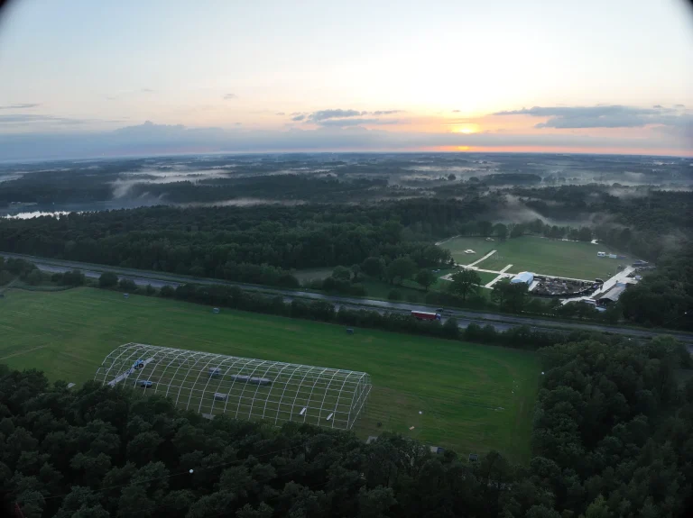 Sunrise Festival 20262026 · Site planning · GPS setting-out · Drone mapping · Technical production
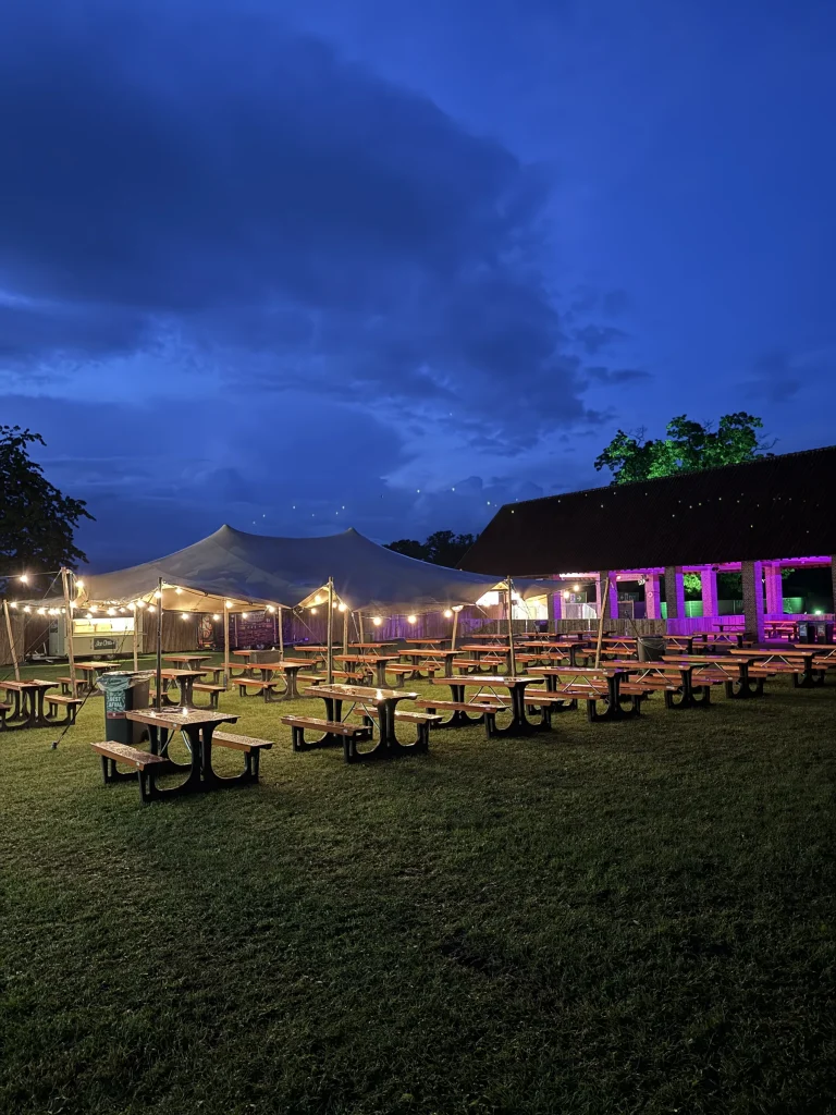 Vagebond Weekend 20262026 · Site planning · GPS setting-out data preparation · Drone mapping
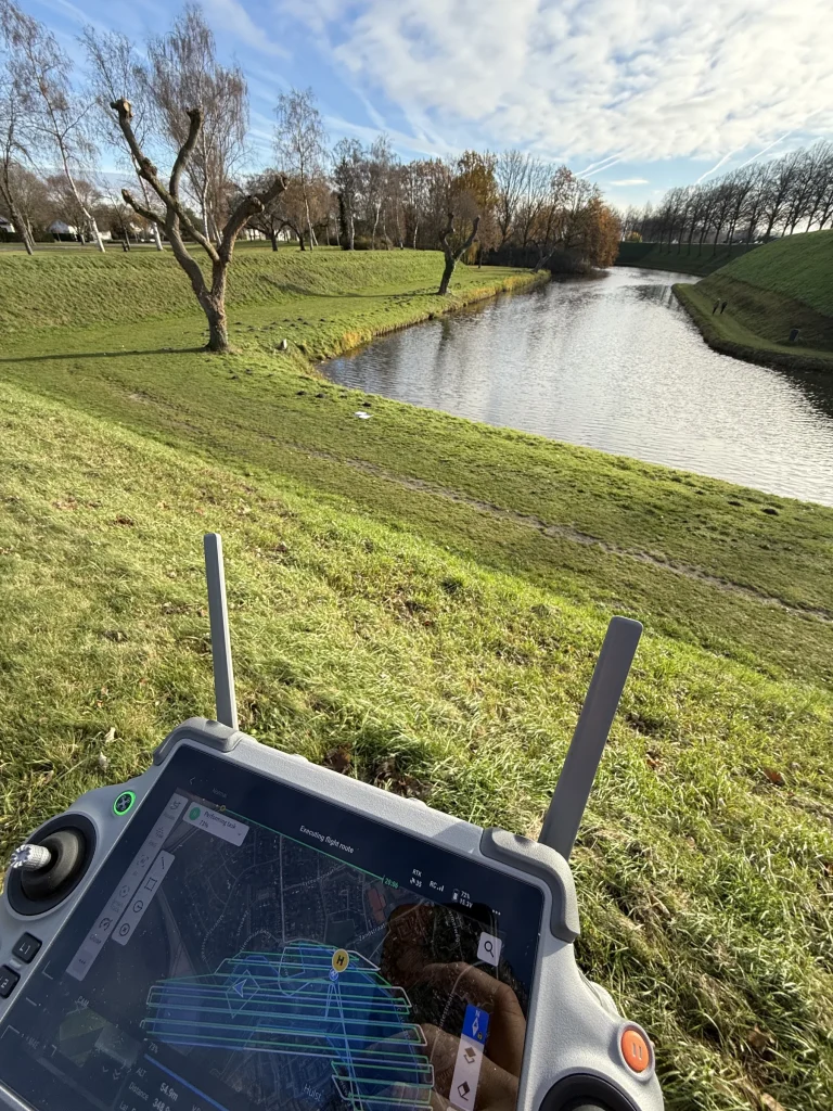 Cyclo-cross World Championships Hulst 20262026 · Drone mapping · Terrain capture for temporary infrastructure
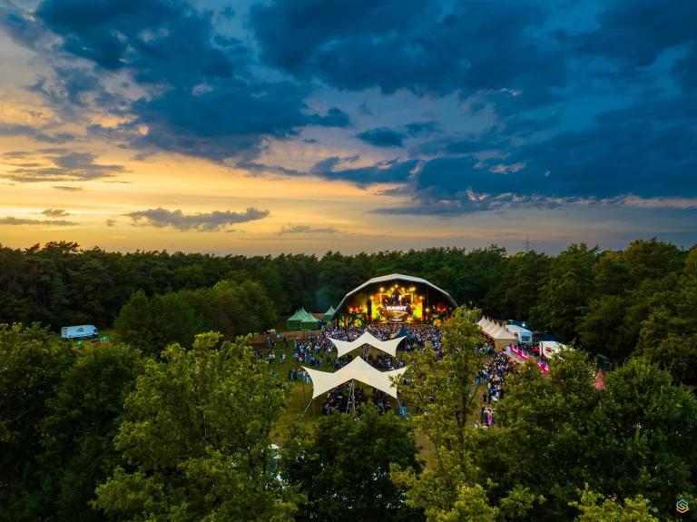 Sunset Festival 20252025 · Drone mapping · Aerial photography
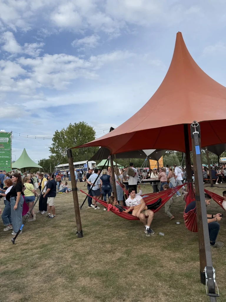 Fairway Festival 20252025 · Drone mapping · Production design · Production support
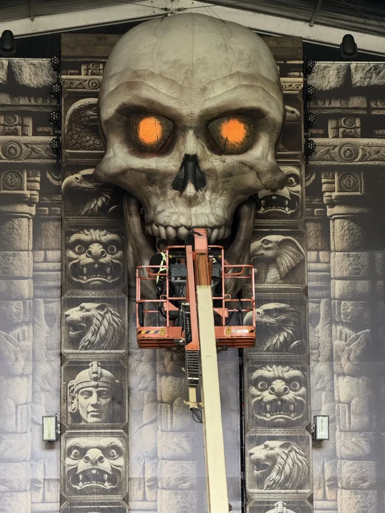 Magic Island 20252025 · Mapping · DTP · Production
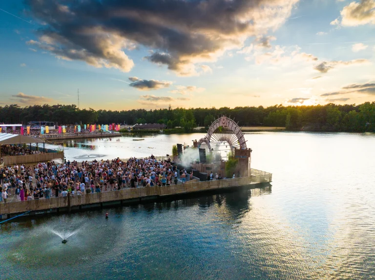 Sunrise Festival 20252025 · Drone mapping · DTP · Production
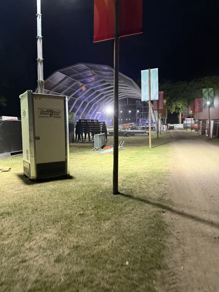 Vagebond Weekend 20252025 · Drone mapping · Production graphics
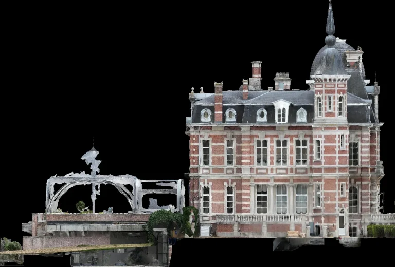 Brasschaat Castle2025 · 3D capture · Heritage documentation
Every image comes from our own flights. Click an image to open the matching case.
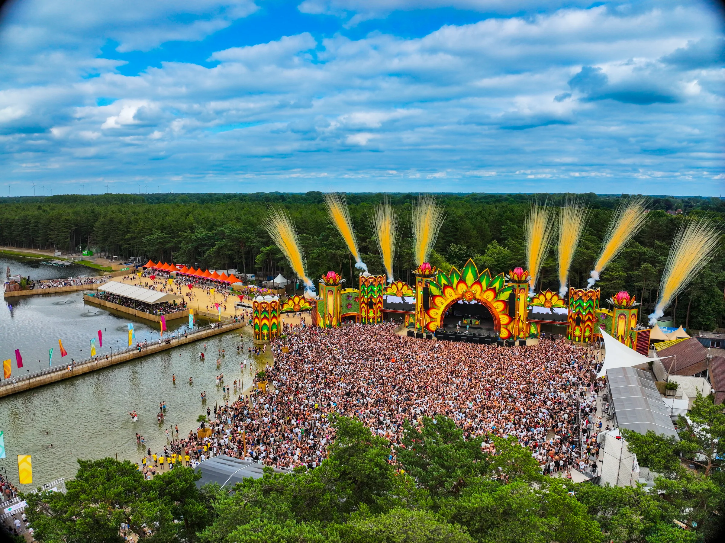
Sunrise Festival 2025
During Sunrise Festival 2025, I combined DTP and print preparation with daily drone mapping. After the evening flight, images were processed into an updated site view for production discussions the following morning.
Read the caseFive views.
One church.
St Catherine’s Church in Hoogstraten, captured with 687 drone images and turned into fixed views you can inspect and zoom without a heavy viewer.
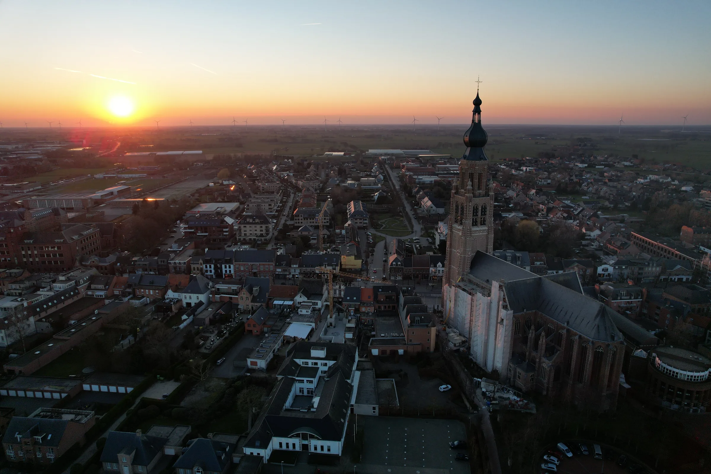 Scroll or pinch to zoom · drag to pan
A clear process.
No data dump.
We agree in advance what you need. The goal decides the capture method — not the other way round.
- 01
We listen
Goal, site, required accuracy and final format are fixed before anyone flies.
- 02
We capture
A safe flight with RTK positioning, and ground control points where needed.
- 03
We process
The capture is checked and converted into the agreed products and formats.
- 04
You carry on
You get files that fit your project and software — not a folder of raw photos.
From capture
to overview.
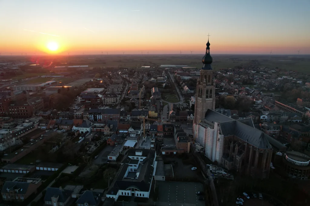
St Catherine’s Church Hoogstraten
heritage from five viewpoints · Vrijheid, Hoogstraten
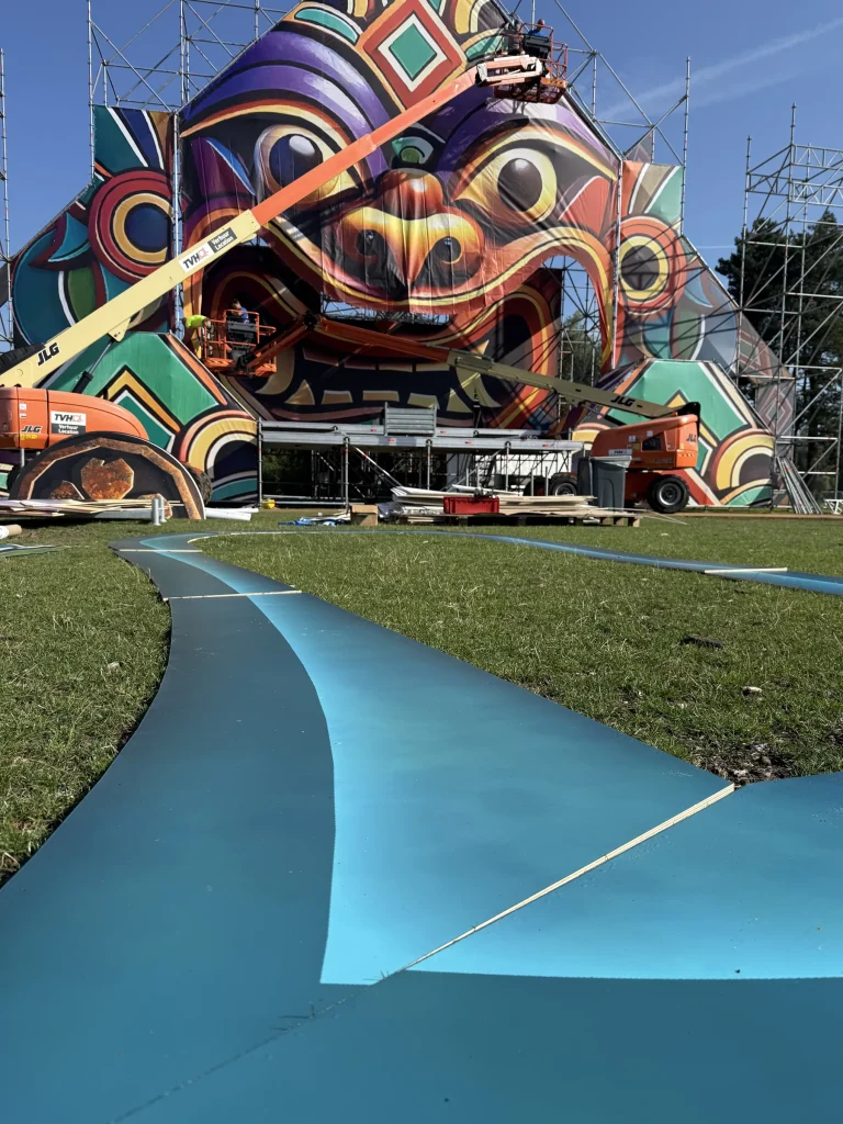
Magic Island 2025
one integrated production workflow · Provinciaal Domein Puyenbroeck, Wachtebeke
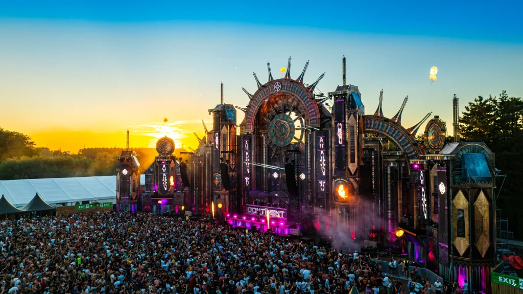
The Qontinent 2024
operational overview for the final edition · Provinciaal Domein Puyenbroeck, Wachtebeke
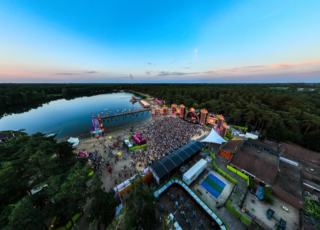
Sunrise Festival 2024
print preparation and orthomosaics · De Lilse Bergen, Gierle
Keep working
where you already work.
We agree the right exchange format in advance, so you open point clouds, orthophotos, linework or meshes directly in your own CAD, BIM, GIS or visualisation workflow.
Let’s map what matters.
Share location, area, timing and the output you want. You don’t need to know the technical solution yet.
Every flight is logged and safety-checked through Airdata UAV: 560+ flights and 2,100+ km, with EU certificates A1/A3 and A2.
View the drone certificate (opens in a new tab)