Every location, clearly captured.
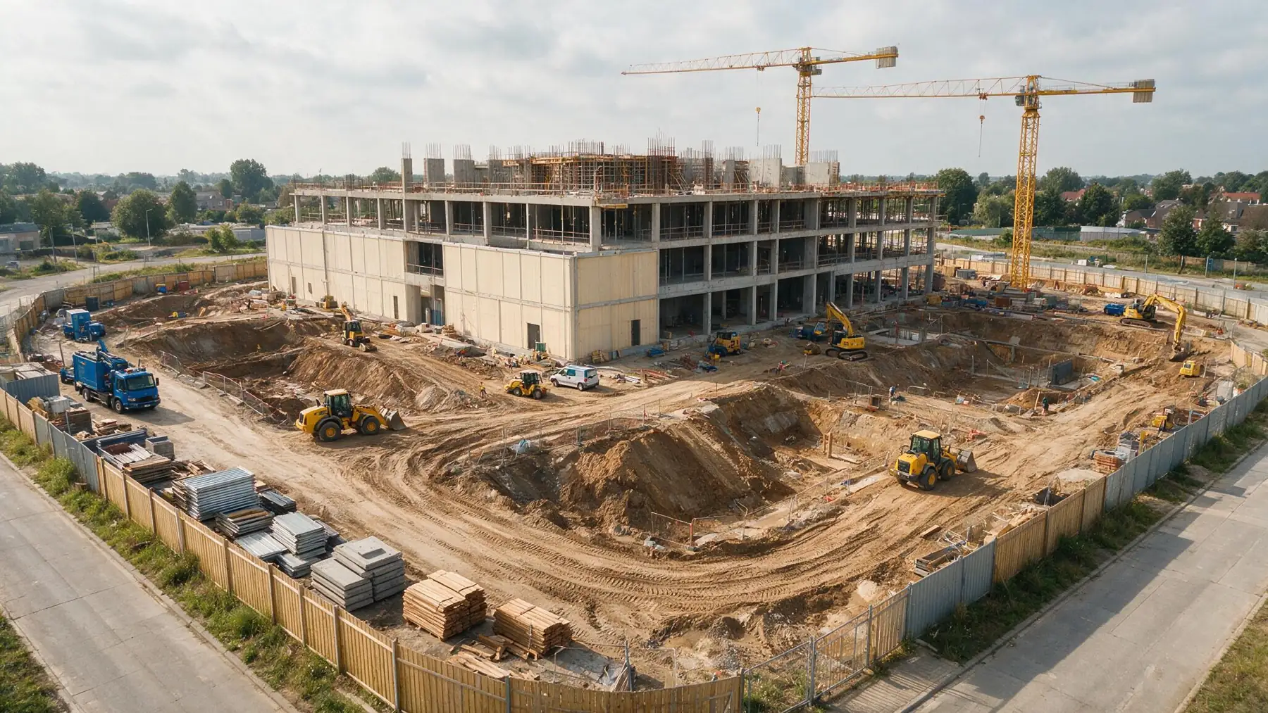
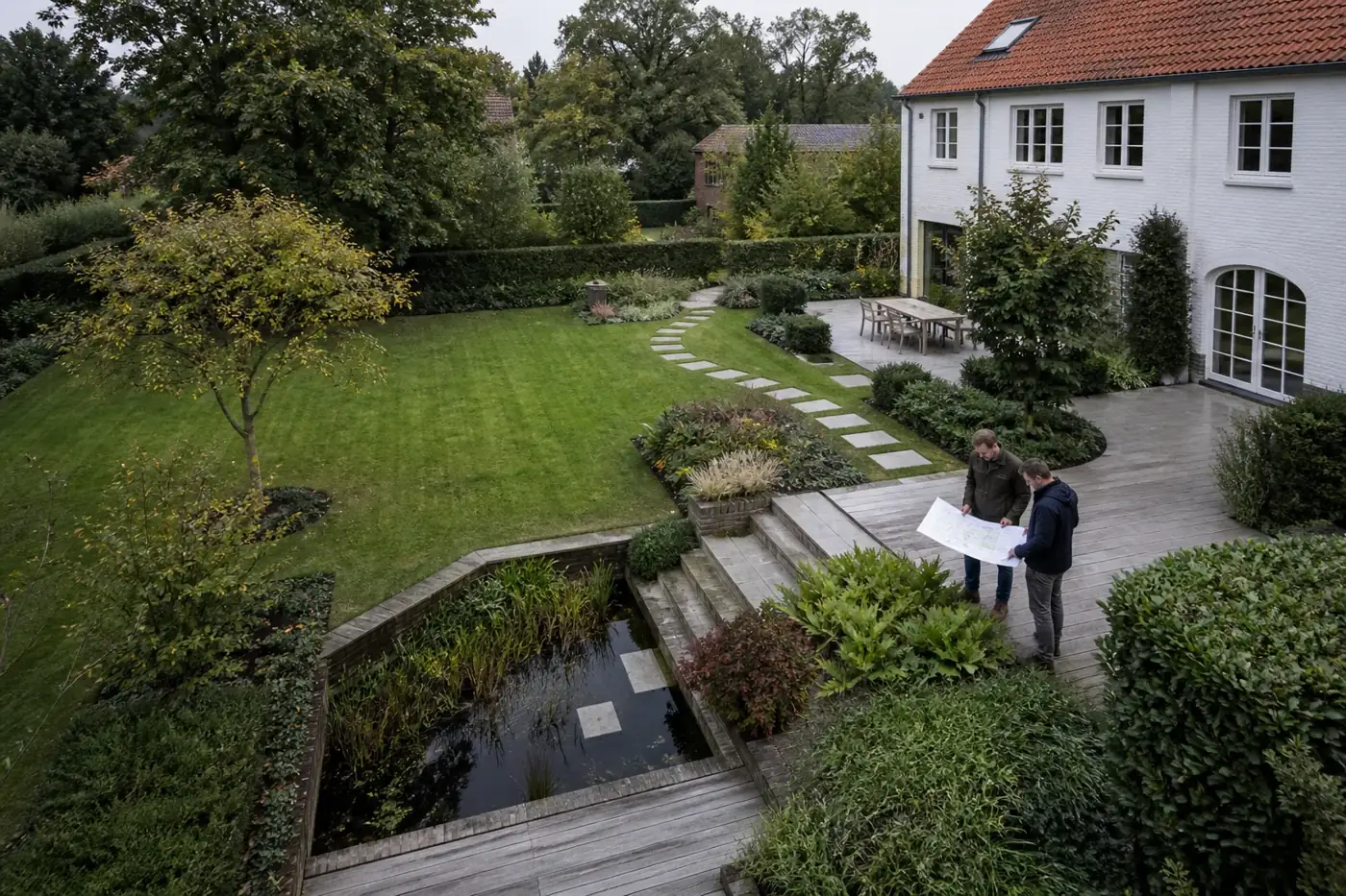
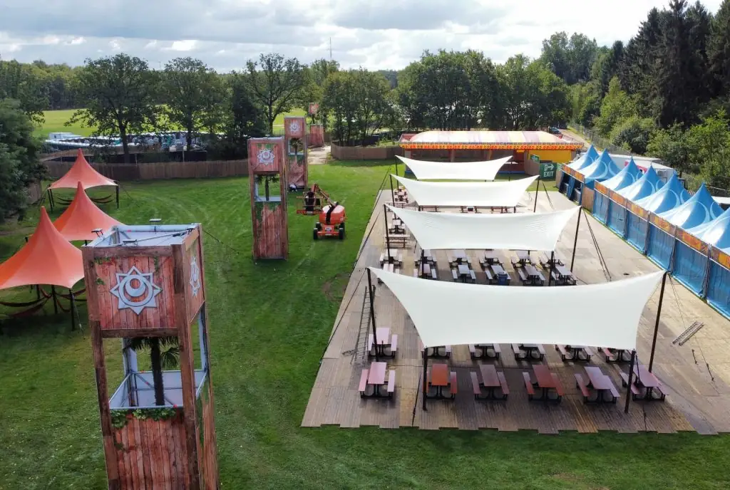
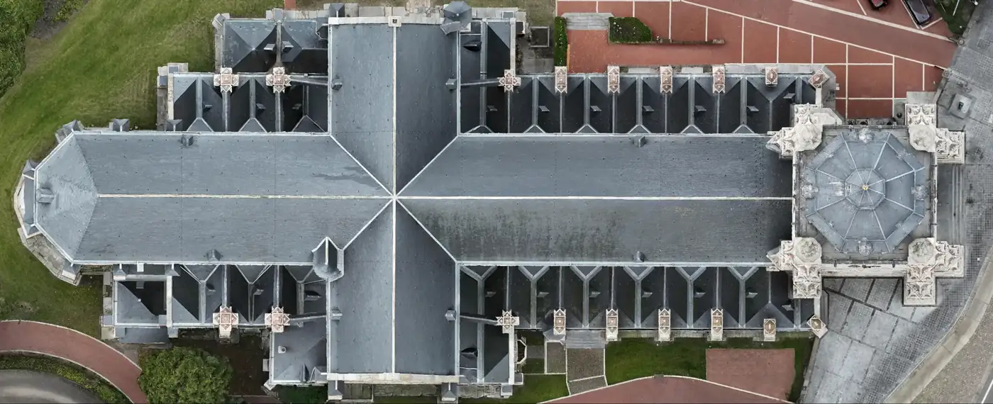
From a construction site, garden or festival ground to a historic church: every location asks different questions. Capture and output follow what you want to design, plan, check or preserve.
Every location,
clearly captured.
From a construction site, garden or festival ground to a historic church: every location asks different questions. Capture and output follow what you want to design, plan, check or preserve.
 Site progress
- 01
Contractors
Progress and deviations visible sooner, from groundwork to handover.
- 02
Engineering firms
Verifiable site input in the agreed coordinate system and format.
- 03
Site management
Large sites clear and comparable over time.
- 04
Landscape architects
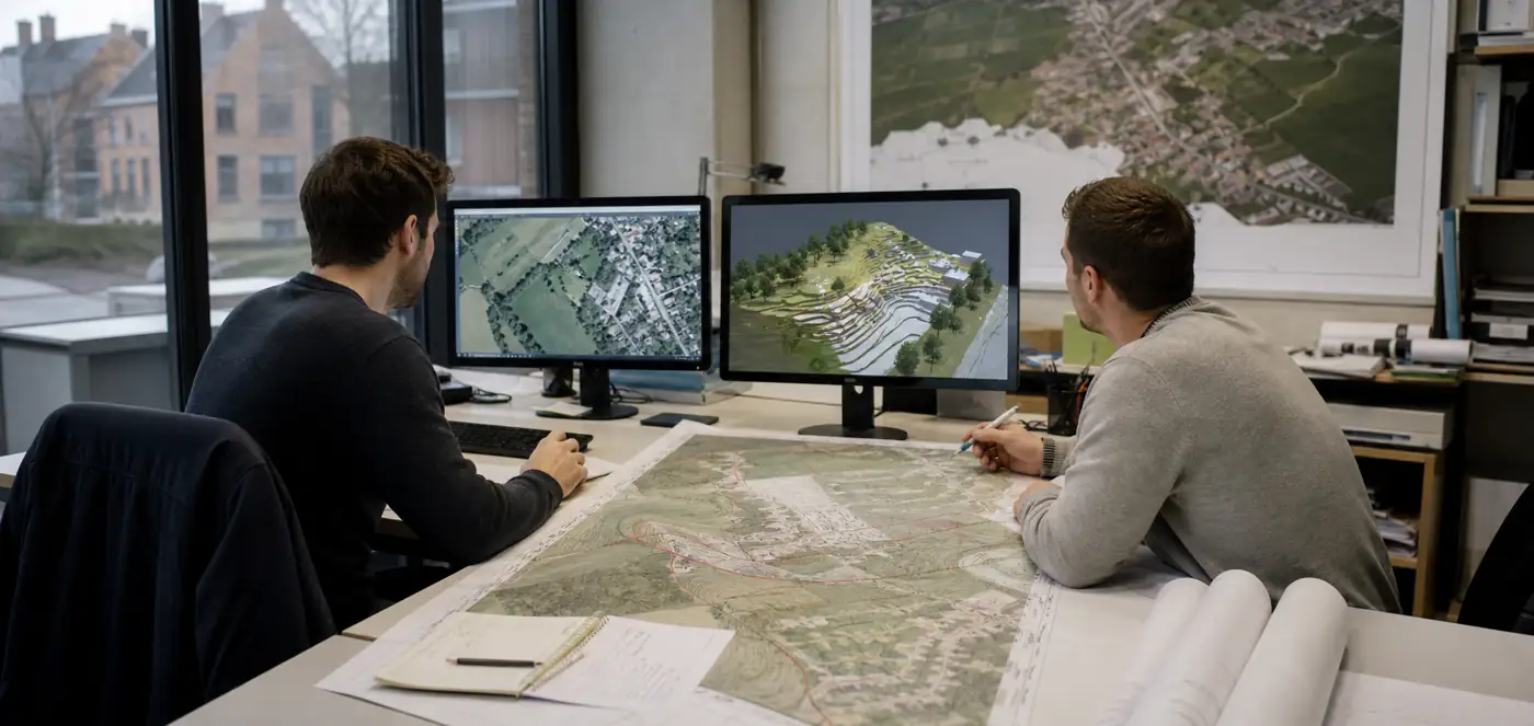
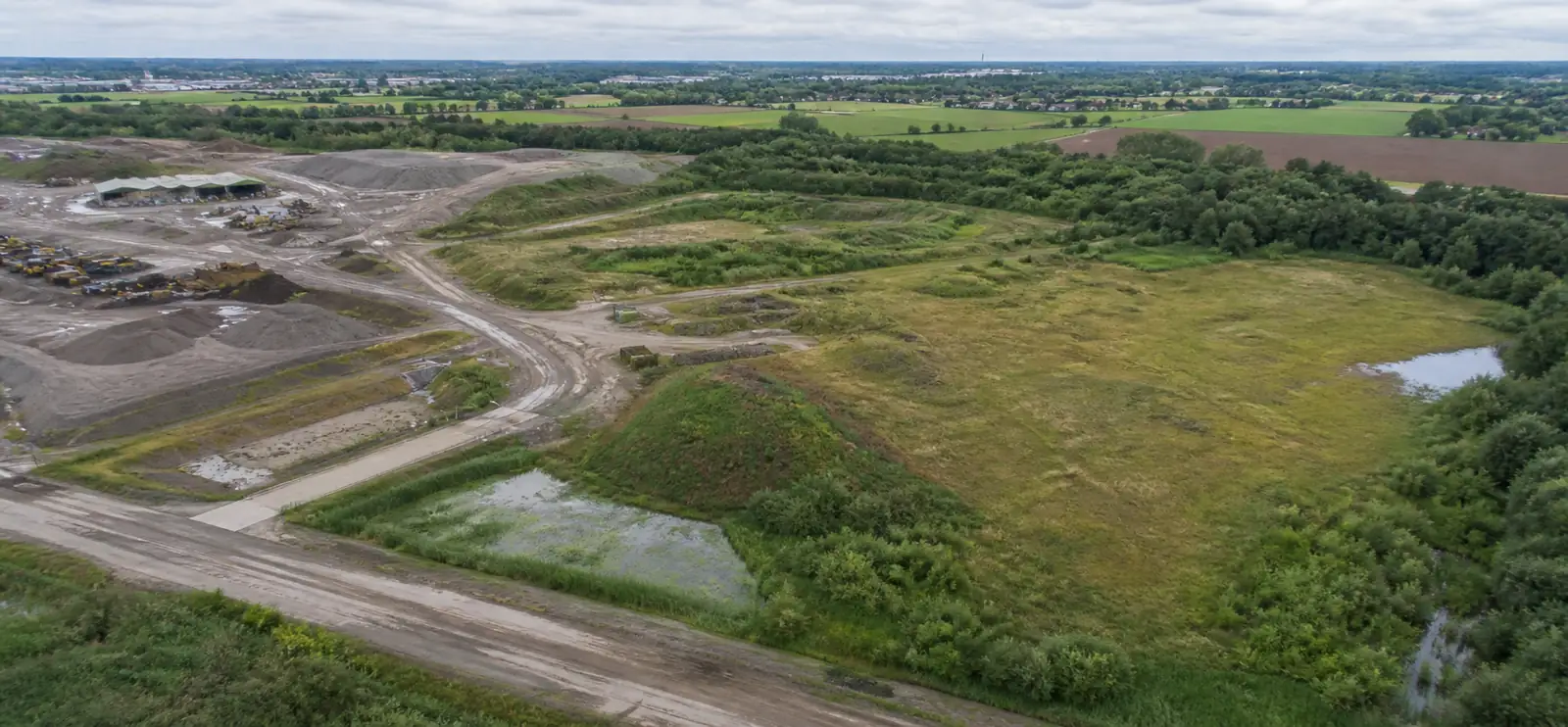
A current design basis with existing conditions and slopes.
- 05
Festivals and events
Build-up, space checks and as-built of a temporary city.
- 06
Heritage
Visual documentation and 3D capture of buildings.
Let’s map what matters.
Share location, area, timing and the output you want. You don’t need to know the technical solution yet.
Every flight is logged and safety-checked through Airdata UAV: 560+ flights and 2,100+ km, with EU certificates A1/A3 and A2.
View the drone certificate (opens in a new tab)