Sunrise Festival 2025
daily drone mapping as a production tool
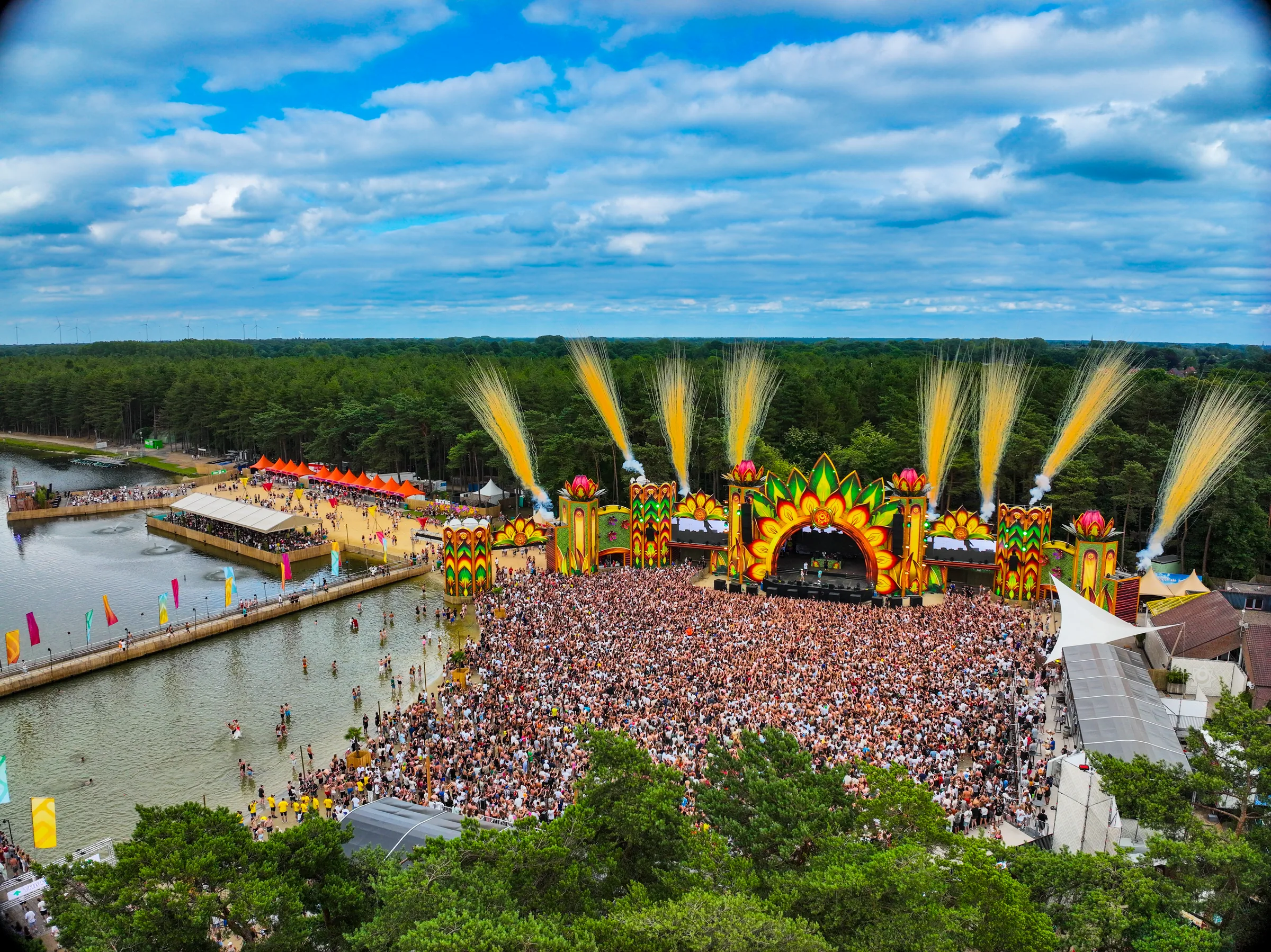
During Sunrise Festival 2025, I combined DTP and print preparation with daily drone mapping. After the evening flight, images were processed into an updated site view for production discussions the following morning.
The challenge
The temporary site changed daily while many banners, boards and stickers moved through production. The team needed to see where the site plan and reality diverged and which field questions needed attention.
Our approach
I performed repeat flights with RTK positioning and processed the images into orthophotos and 3D models. These supported discussions about progress, accessibility and visible deviations. Independent field checks remained necessary for critical measurements. In parallel, I handled DTP and print preparation.
The result
The next morning, the team received a useful project update rather than a folder of isolated drone photographs. Site questions were easier to locate and a visual archive was built for future editions.
Images
Photos: Sebastian Sysmans
Next case