Sunrise Festival 2022
the first step towards drone mapping
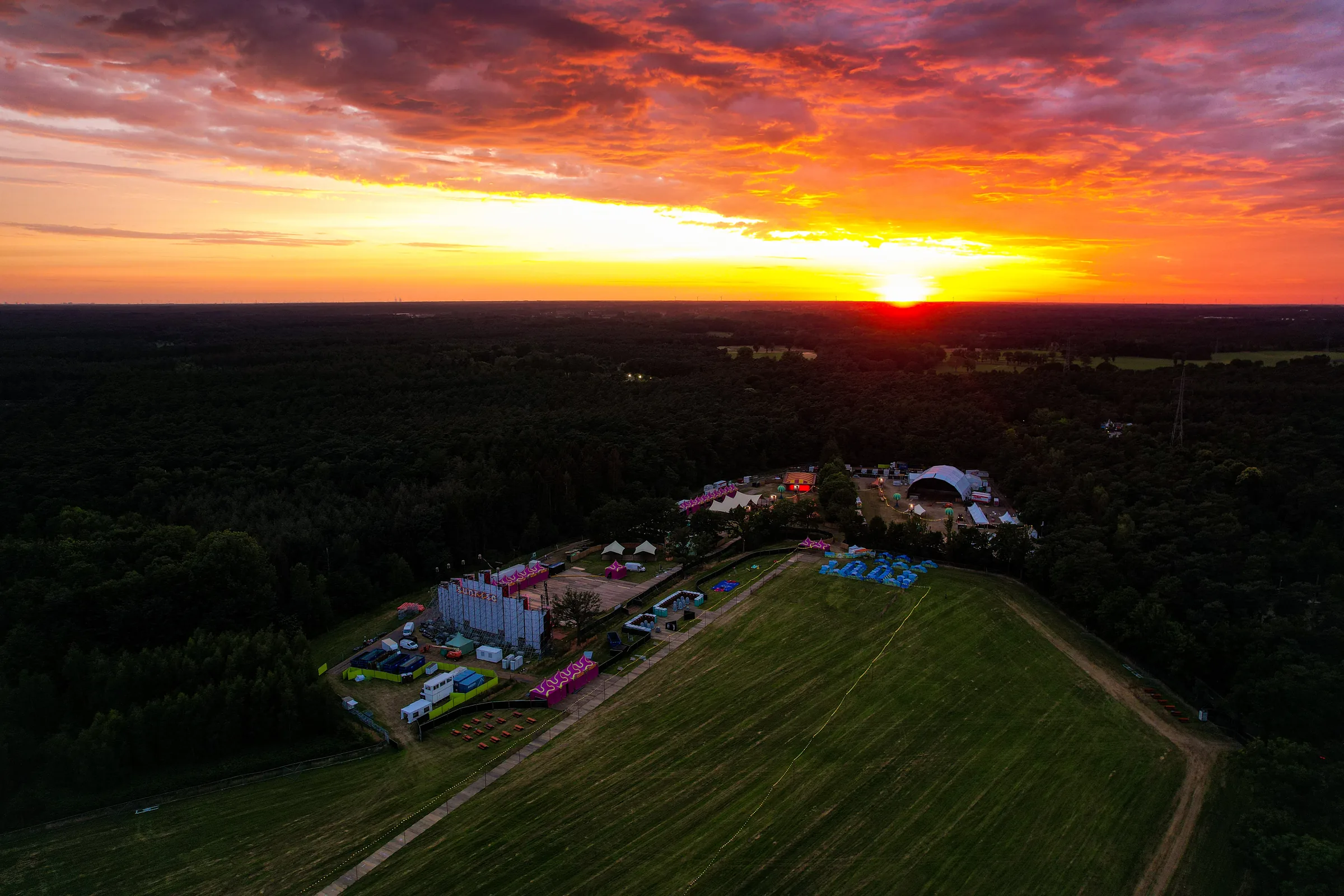
During Sunrise Festival 2022, I made an early experimental image stitch of the campsite and parking area. I explored whether separate aerial photographs could be combined into one useful overview for festival production.
The challenge
Individual photographs each showed only part of a large temporary site. Production mainly needed coherence: one image in which zones could be recognised and discussed more easily.
Our approach
Alongside gatekeeping and social media design, I combined several aerial images into an image stitch. This early approach did not include controlled positioning or independent quality checks. The capture helped identify and discuss zones visually.
The result
The result was technically limited, but its practical value was immediately clear. This experiment prompted the later investment in professional photogrammetry and repeatable site capture.
Images
Photos: Sebastian Sysmans
Next case