
Sectors
Mapping for site management
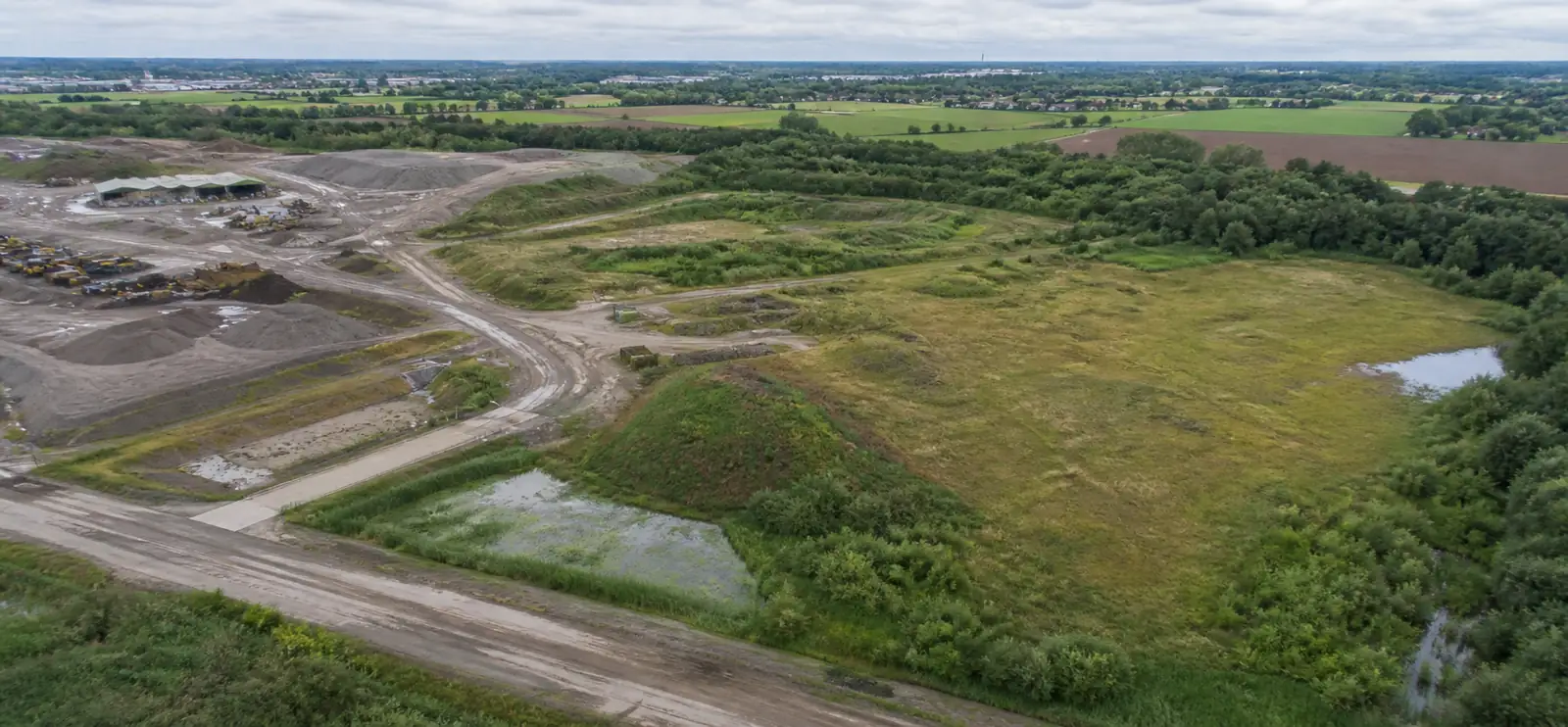
Periodic captures make large sites clear and comparable, without checking every corner on foot.
What mapping adds
One overviewThe entire site on one current map.
CompareSee what changed since the last capture.
Plan maintenanceAccess, paving and greenery visible from above.
ArchiveA history you can find again later.
Typical output
OrthophotoA/B comparisonArchive
Questions and answers
What clients often ask
Why fly over a large site periodically?
Captures at fixed moments make a large site clear and comparable, without checking every corner on foot. Changes, damage or new situations stand out sooner.
How do I compare two captures?
In the online viewer you place two dates side by side (A/B) or scroll through time. You see at a glance what changed between two moments.
Are older captures kept?
Yes, every capture becomes part of the site's archive, so you can later look back at the situation on a given date.
SEBAS
Start a project request Tell us what you need.
Describe your site and your question. You don’t need to know the right output yet.
Every flight is logged and safety-checked through Airdata UAV: 560+ flights and 2,100+ km, with EU certificates A1/A3 and A2.
View the drone certificate (opens in a new tab)