
Mapping for heritage
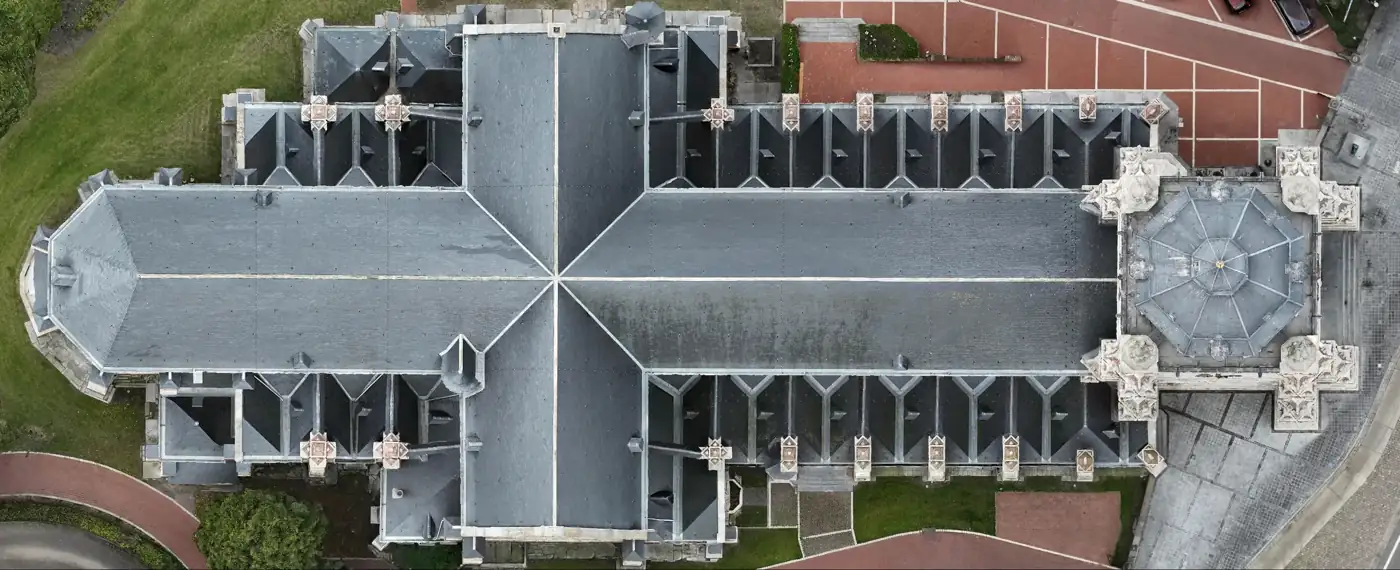
A photogrammetric 3D model records the visible state of a building — for documentation, communication and later comparison.
What mapping adds
What clients often ask
What is a photogrammetric 3D model of a building?
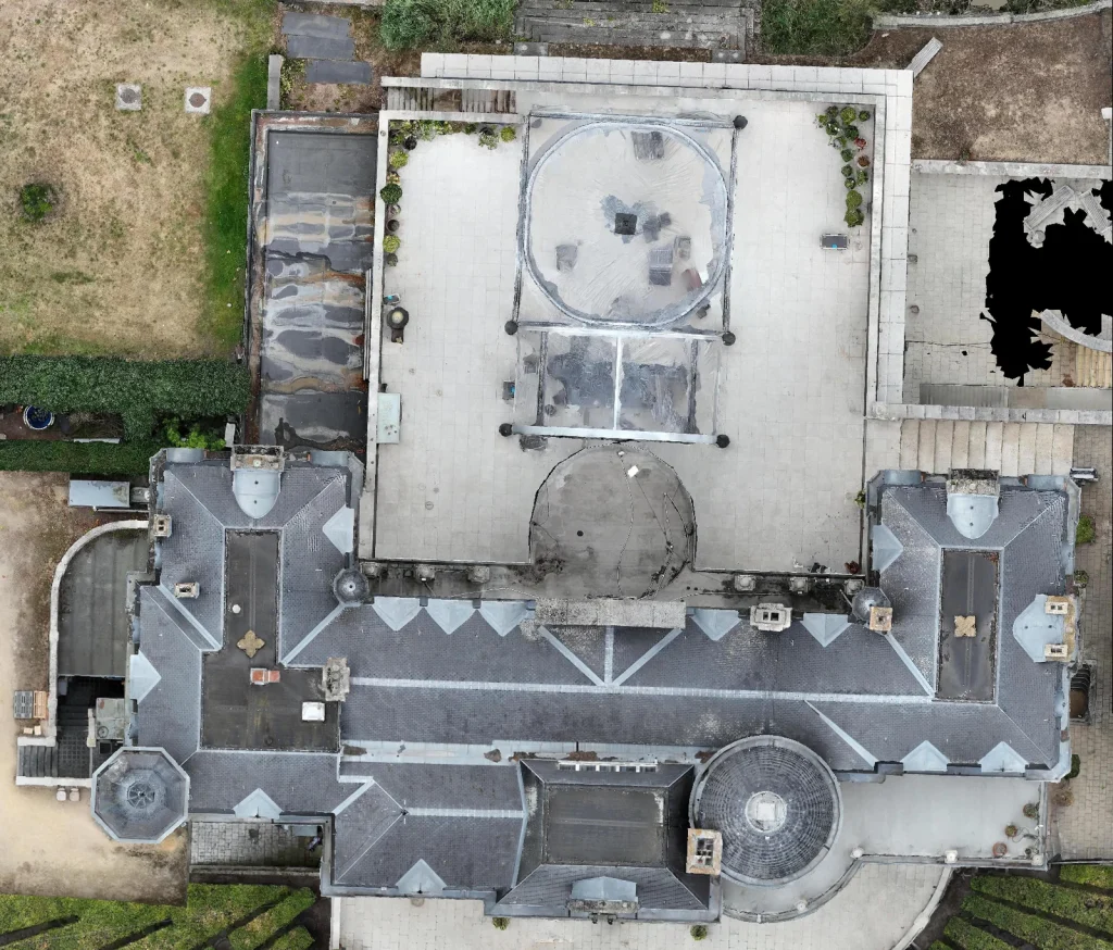
A 3D model built from hundreds of overlapping photos. It records the visible condition of façades and roofs, for documentation, communication and later comparison.
Can the model be viewed online?
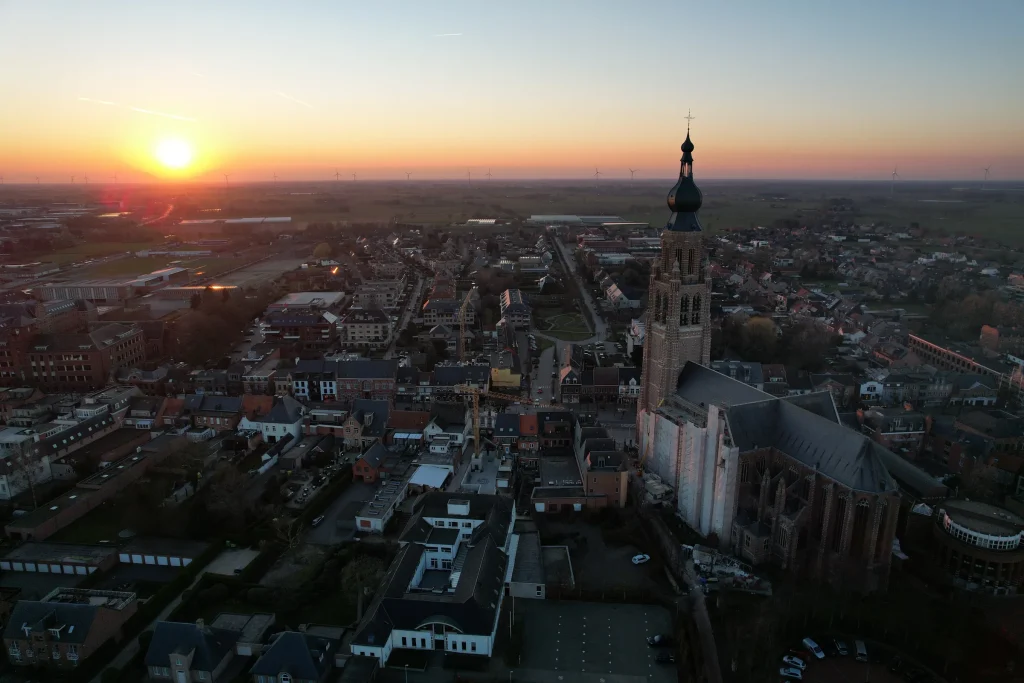
Yes, in a browser viewer with fixed views (front, back, left, right and top), without installing software. See the St Catherine's Church Hoogstraten case.
Does this replace a historic building survey?
No, it complements it: a fast, visual record of the exterior. Detailed surveys or architectural-historical research still require specialist work; the 3D model can serve as a basis.
Tell us what you need.
Describe your site and your question. You don’t need to know the right output yet.
Every flight is logged and safety-checked through Airdata UAV: 560+ flights and 2,100+ km, with EU certificates A1/A3 and A2.
View the drone certificate (opens in a new tab)