Mapping for contractors
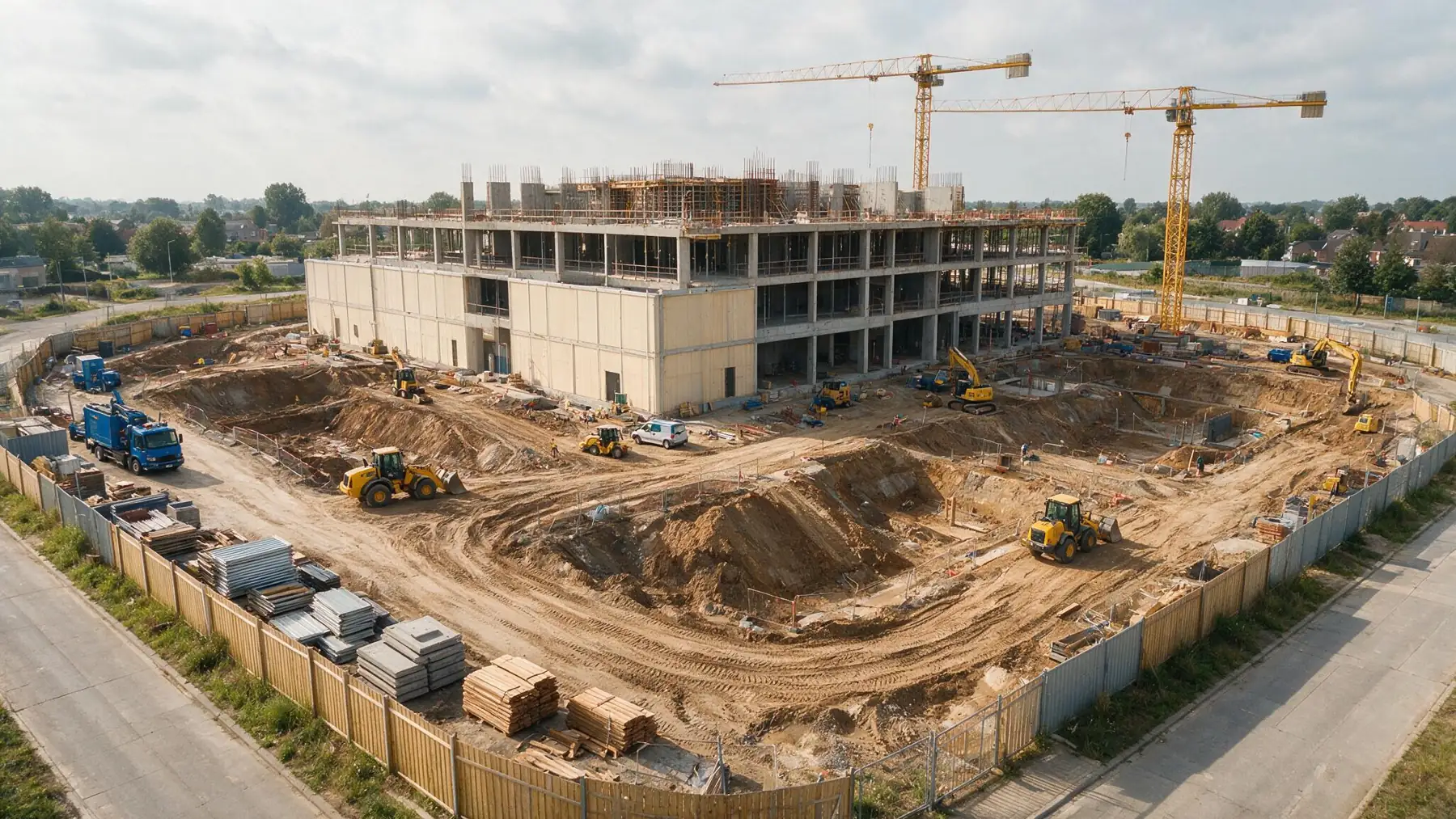
An orthophoto and 3D model show the outdoor state of a site in one capture — for planning, progress reporting and coordination.
What mapping adds
What clients often ask
What does an orthophoto of the site give a contractor?
One current, measurable image of the entire site: for planning, progress reporting and meetings with the client, architect and subcontractors. Everyone looks at the same situation on the same date.
Can you capture progress at fixed moments?
Yes. By capturing the same site at fixed moments, you compare two captures side by side (A/B) and see what changed. It also builds an archive to fall back on later, for example in discussions about what was where and when.
Does this replace a land surveyor?
No. A drone capture gives a fast, complete overview with accuracies of a few centimetres, checked on checkpoints. Setting-out and measurements with legal value still need a certified land surveyor; SEBAS works with a partner for that.
Tell us what you need.
Describe your site and your question. You don’t need to know the right output yet.
Every flight is logged and safety-checked through Airdata UAV: 560+ flights and 2,100+ km, with EU certificates A1/A3 and A2.
View the drone certificate (opens in a new tab)