
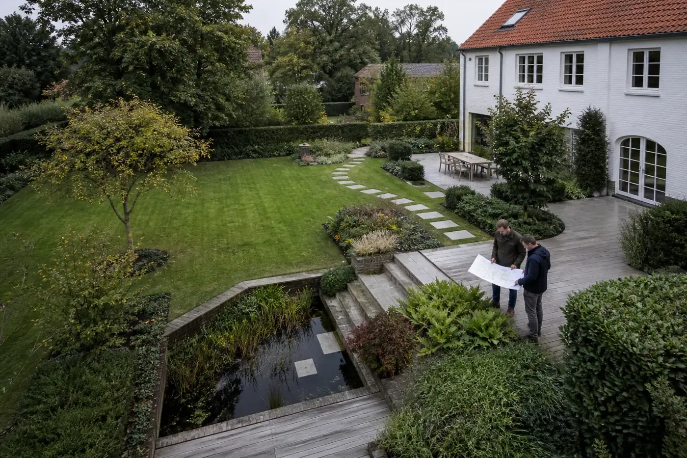
Mapping for landscape architects and contractors
A current 2D or 3D capture brings together visible conditions, slopes and existing elements as a basis for design.
What mapping adds
What clients often ask
What does a drone capture give a landscape architect?
A current 2D or 3D record of the visible situation: trees, paving, slopes and existing elements combined into one design basis, including areas that are hard to access.
Can I use the capture in my drawing software?
Yes, among others as an orthophoto, 3D model or DXF, so you can design directly on the existing situation.
Is a drone capture suitable for a small garden?
Often it is, especially with slopes, mature trees or a complex existing situation. With the request we look together at whether a flight makes sense or a simpler approach is enough.
Tell us what you need.
Describe your site and your question. You don’t need to know the right output yet.
Every flight is logged and safety-checked through Airdata UAV: 560+ flights and 2,100+ km, with EU certificates A1/A3 and A2.
View the drone certificate (opens in a new tab)