Fairway Festival 2026
from terrain capture to festival plan
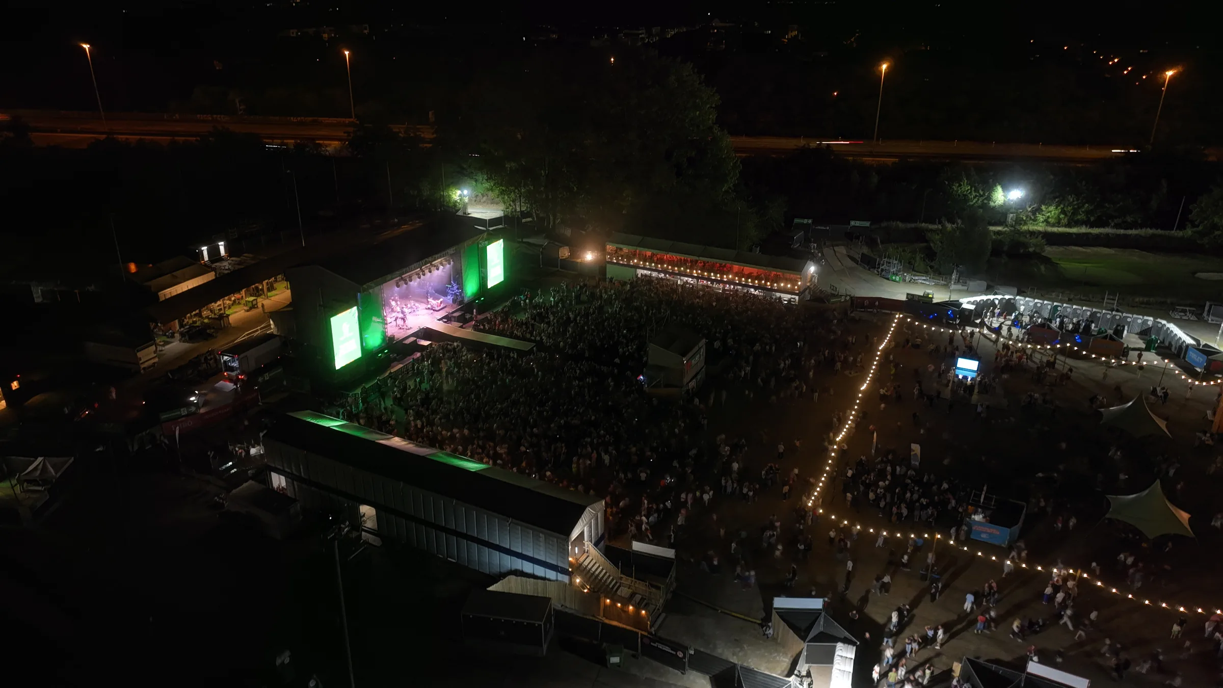
For Fairway Festival 2026, I combined terrain capture with a dimensionally consistent 2D site plan and technical banner coordination. The venue in Edegem had to accommodate an afterwork event, festival and family day.
The challenge
New suppliers, different scaffolding structures and a revised parking route required the previous plan to be reworked. Ground levels needed checking for temporary structures. Banner dimensions and orders had to match construction drawings.
Our approach
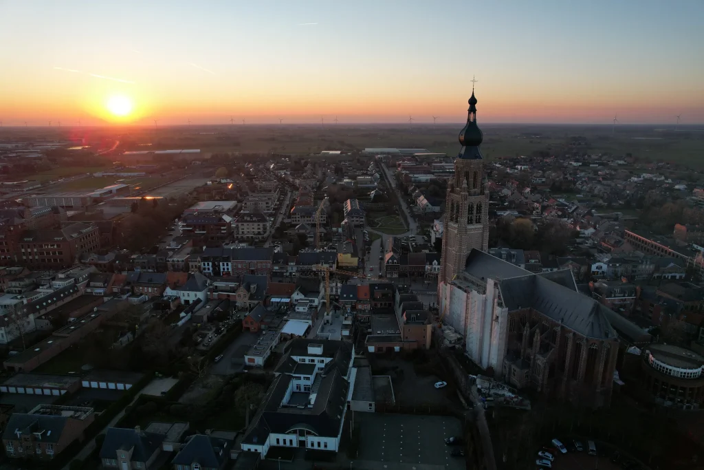
I captured the empty event area with an RTK drone and surveyed control points and checkpoints. Reported RMSE at two independent checkpoints was 3.0 cm horizontally and 2.1 cm vertically. Actual setting-out data came from separately surveyed GPS points.
I developed the 2D plan in SketchUp and LayOut through version 6, with focused exports for the different teams. Using supplied DWG drawings, I calculated banner dimensions and prepared the designer's technical brief. I handled print preparation, ordering and budget tracking; most creative banner design was done by the designer.
The result
Teams received a shared plan base and detail plans, digitally and on A0 sheets. Print coordination covered 46 ordered items. Terrain capture preceded the build; the planned final flight did not take place, so this edition has no drone as-built of the completed festival site.
Images
Photos: Sebastian Sysmans
Next case