The Qontinent 2024
operational overview for the final edition
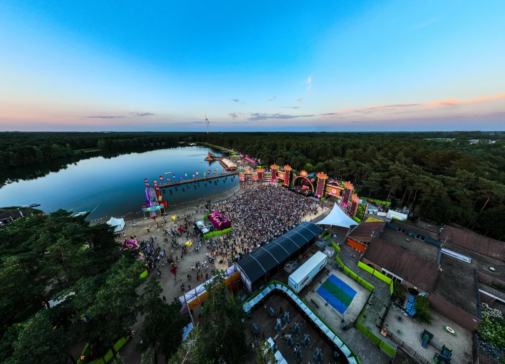
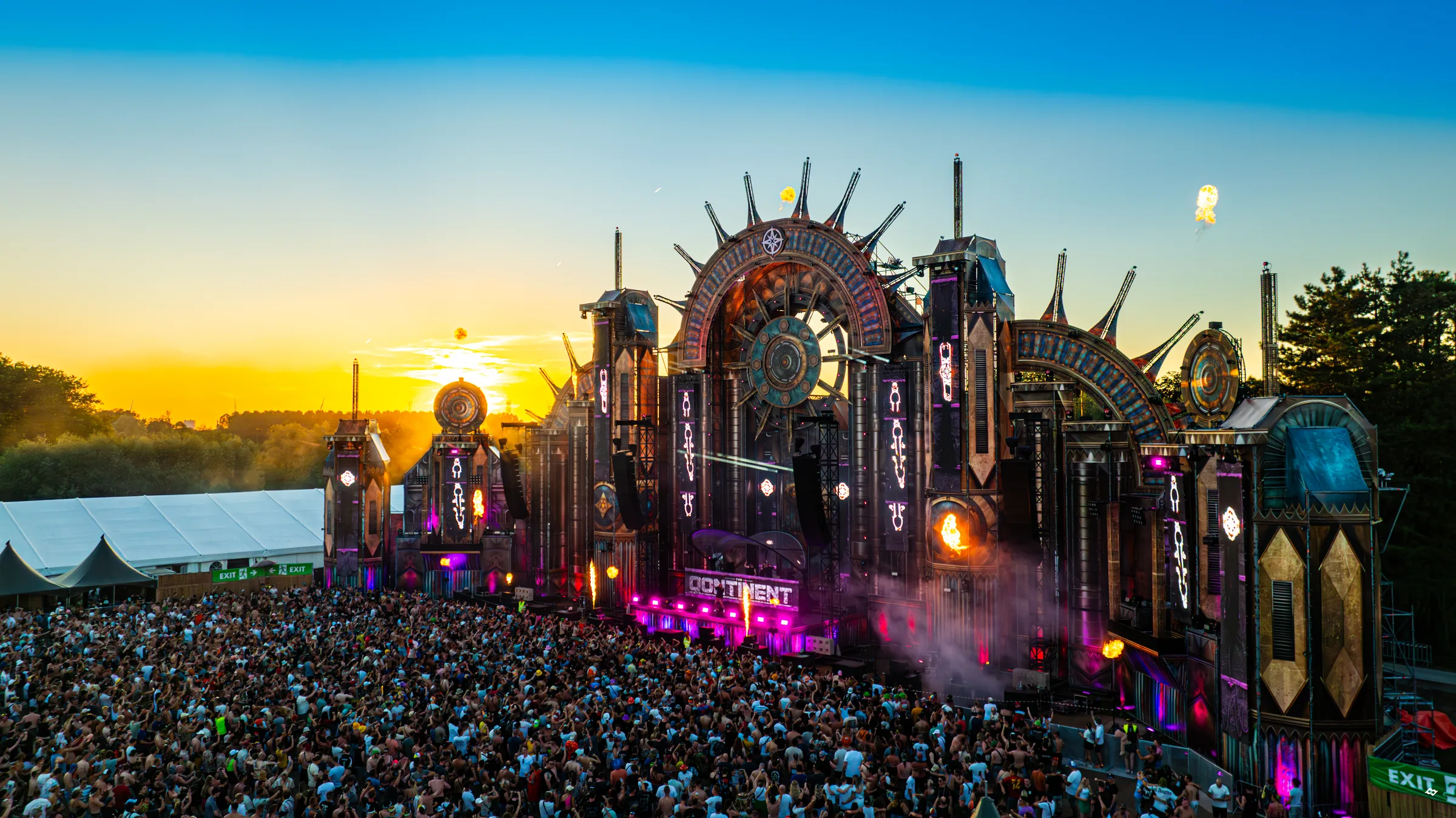
During the final edition of The Qontinent, I combined gatekeeping and machine planning with manually stitched aerial mosaics, parking-status images, drone photography and additional DTP. One of my aerial photographs was used in the festival's final official social media post.
The challenge
The constrained site required a controlled supplier flow and shared machines had to move continuously between work zones. As this was the final edition, the imagery gained lasting archival value alongside its operational role.
Our approach
I coordinated suppliers from an off-site waiting area and tracked machinery and keys centrally. Equipment was positioned in the next work zone in advance whenever possible.
For the visual mapping, I manually combined drone photographs using Photoshop Photomerge into a mosaic of the build. I also captured aerial overviews of the parking status at different times. These images are not georeferenced and provide visual site context, not precise measurements or automated vehicle counts. I also took aerial photographs for communication and prepared a limited number of banners.
The result
The site mosaic and parking-status images documented the build and the visible occupancy of the car park. Production also retained a strong visual archive of the final edition. The project shows how visual mapping can support operations without claiming a georeferenced survey.
Images
Photos: Sebastian Sysmans · EDMKEVIN (fotograaf The Qontinent)
Next case