Sunset Festival 2025
as-built record and aerial images by drone
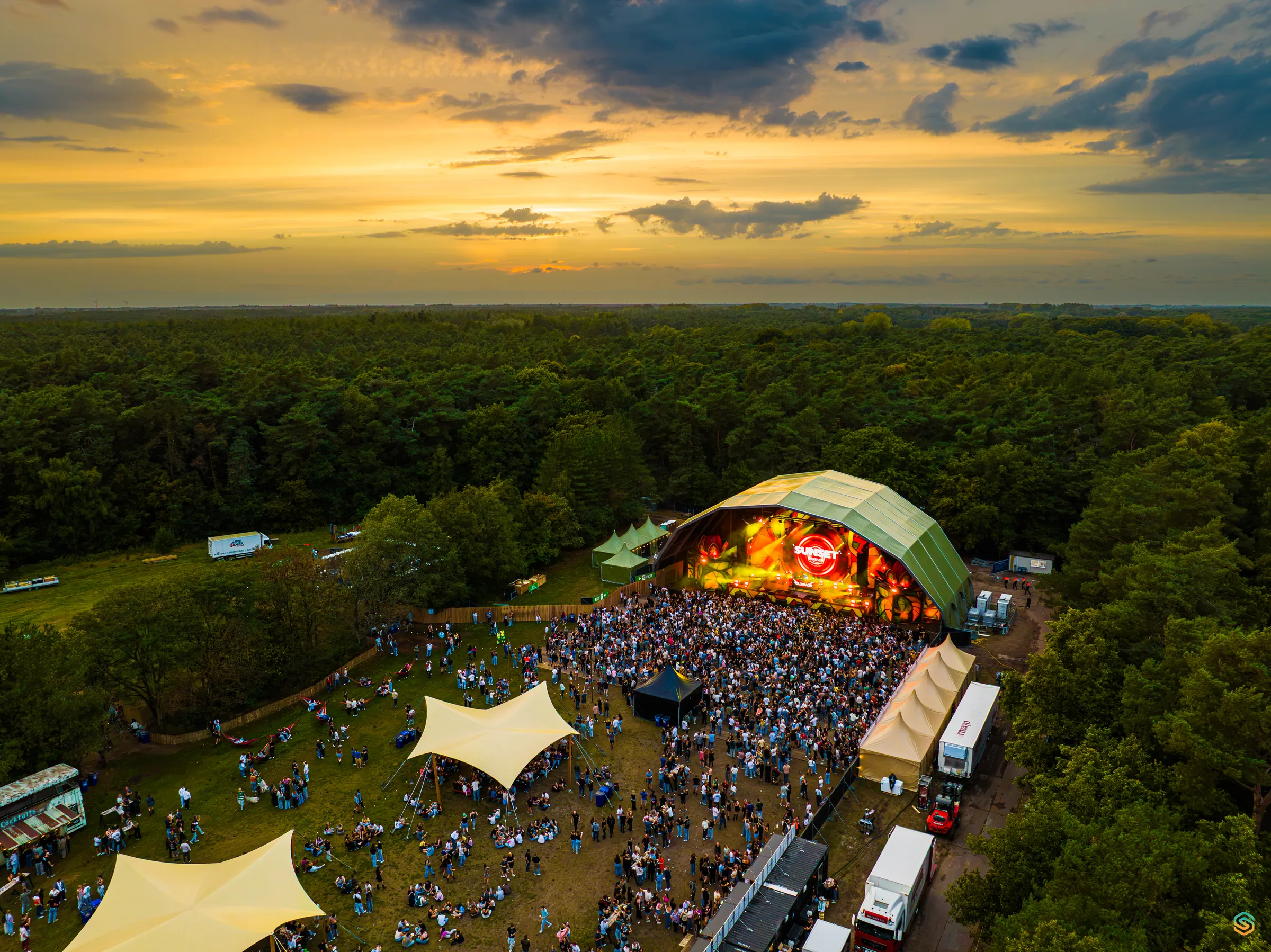
On 20 September 2025, I captured Sunset Festival at De Lilse Bergen by drone: an as-built record of the completed site during the day, and aerial images of the festival in full swing at dusk.
The challenge
Every edition has its own site layout. Anyone who wants to review it later or use it as a starting point needs a dated record of what was actually built, not just of what was planned.
Our approach
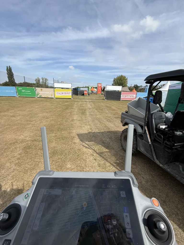
I flew the site with RTK positioning and processed 953 drone images into an orthophoto at 1.98 cm per pixel, a digital surface model (DSM) and a 3D point cloud. All images had RTK FIX status and were used in the reconstruction; the 2D output covers approximately 3.53 hectares. At dusk, I took aerial photographs of the main stage, the crowd and the site among the trees.
The result
A dated as-built record of the completed festival layout, available in plan view and in 3D, complemented by aerial images of the festival itself.
Images
Photos: Sebastian Sysmans
Next case