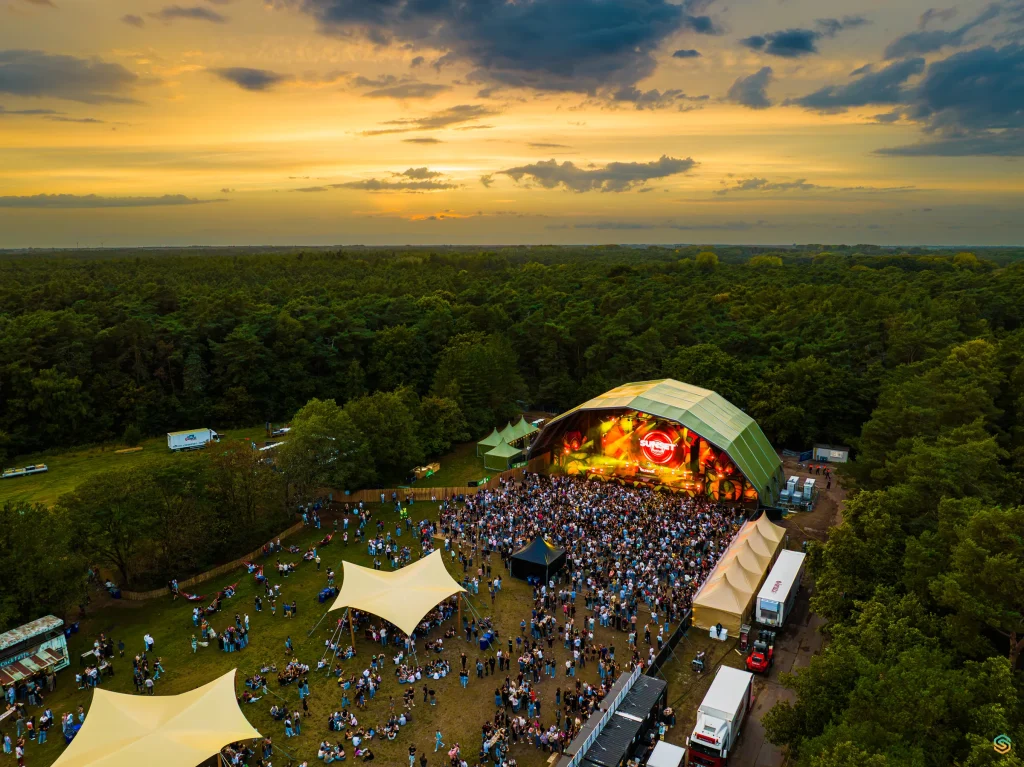
Cyclo-cross World Championships Hulst 2026
drone mapping alongside field surveying
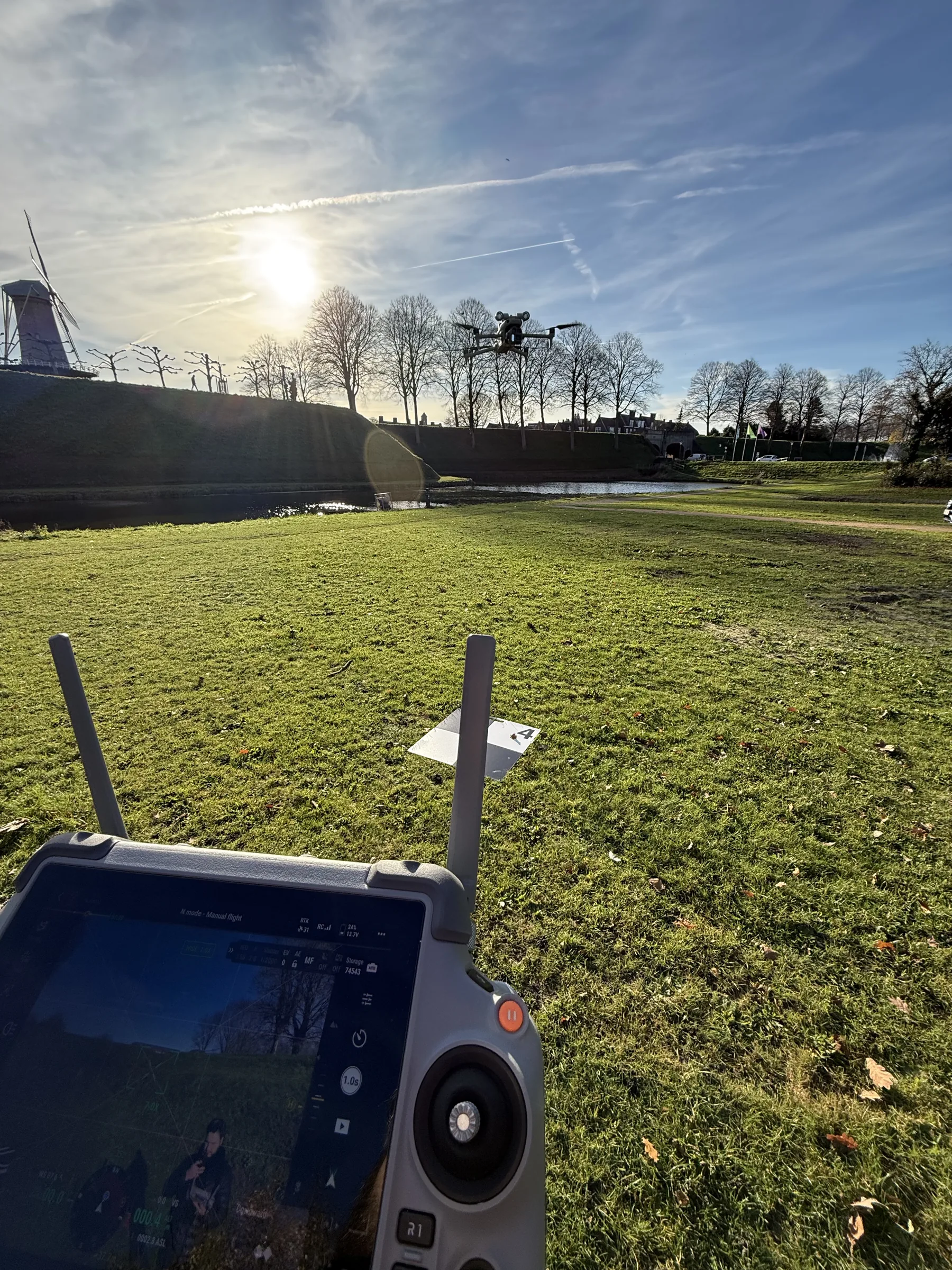
For temporary scaffolding at the 2026 Cyclo-cross World Championships in Hulst, I contributed to a drone survey. The capture was tested alongside separate measurements made with a GNSS rover.
The challenge
The fortified site includes elevation changes, water, trees and limited access. An existing drawing does not always show current physical conditions. Visiting each relevant point separately required substantial fieldwork.
Our approach
Together with the survey team, I based the capture on the supplied site plan. We placed ground control points and recorded the relevant terrain. I processed the images into a point cloud and a 3D model in OBJ format.
The drone data was tested alongside separate GNSS measurements. Independent field checks remain necessary for critical setting-out measurements.
The result
The capture produced a coherent spatial representation, including existing features and elevation differences. Field experience indicated that drone capture was faster than surveying every relevant point and tree separately. The 3D data can be reviewed further in suitable software.
Images
Photos: Sebastian Sysmans
Next case