Mapping for festivals and events
A festival with a campsite is a city, a construction site and a logistics operation at once. A map updated daily gives production one shared view.
What mapping adds
From the field
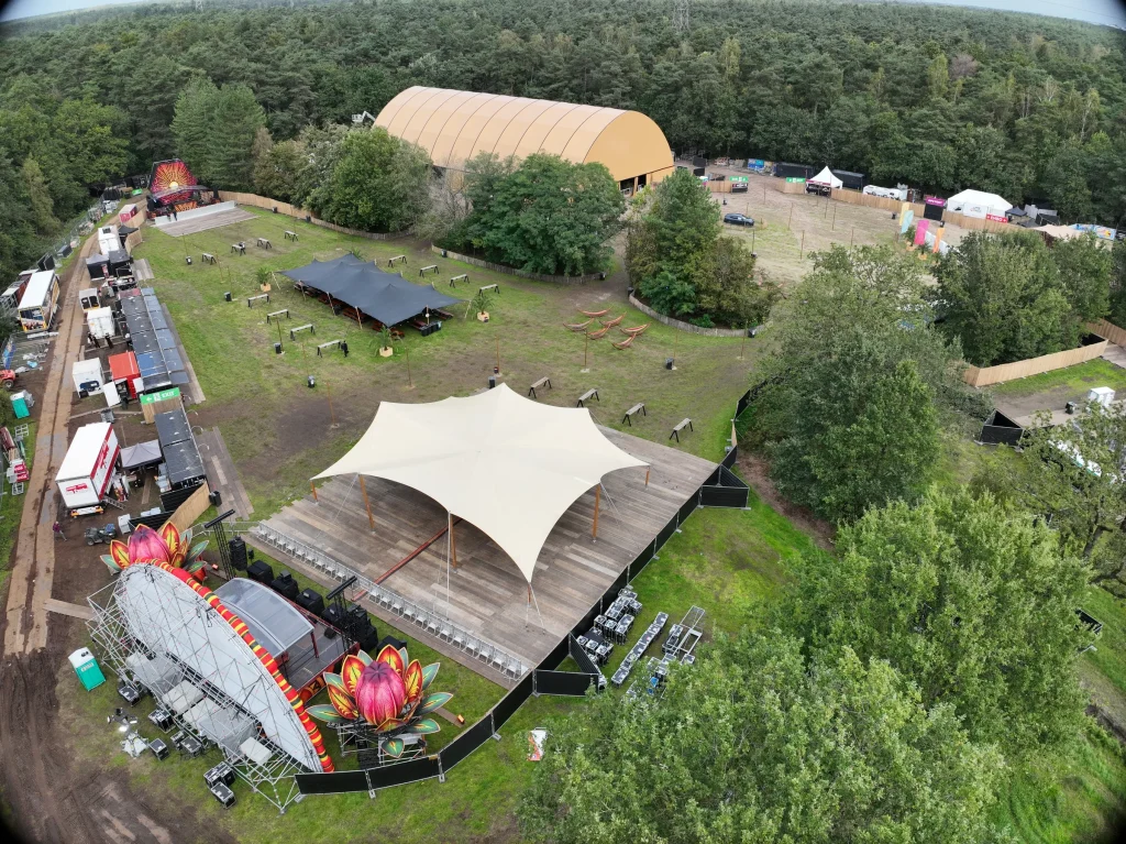
Sunset Festival 2026
build-up and as-built from the air · De Lilse Bergen, Gierle
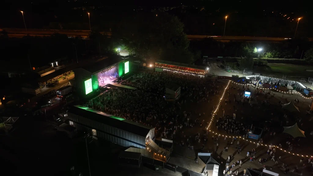
Fairway Festival 2026
from terrain capture to festival plan · Golfclub Drie Eycken, Edegem
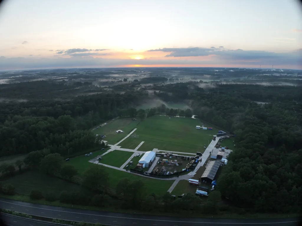
Sunrise Festival 2026
from master plan to implementation · De Lilse Bergen, Gierle
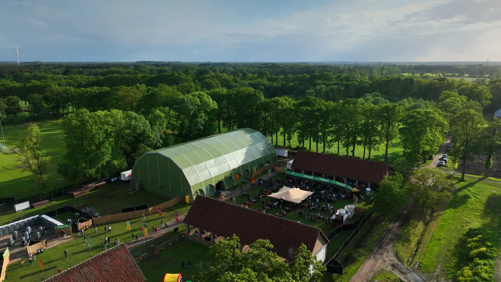
Vagebond Weekend 2026
from site plan to as-built · Open Schuren, Merksplas-Kolonie
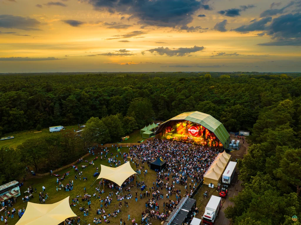
Sunset Festival 2025
as-built record and aerial images by drone · De Lilse Bergen, Gierle
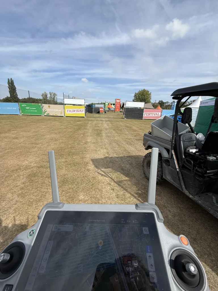
Fairway Festival 2025
from as-built capture to signage · Golfclub Drie Eycken, Edegem
What clients often ask
What does drone mapping deliver for a festival?
One shared, current map of the site for production, technical teams, safety and suppliers: during the build to compare plan and reality, and afterwards as an as-built of the temporary city.
How often can the site be updated?
Up to daily. At large festivals, an evening flight was processed into a new overview for the meeting the next morning.
Do you combine this with the site plan and signage?
Yes. SEBAS comes from festival production and the graphic sector: the map can serve as the basis for site plans, wayfinding, banners and print, and for communication with suppliers and emergency services.
Tell us what you need.
Describe your site and your question. You don’t need to know the right output yet.
Every flight is logged and safety-checked through Airdata UAV: 560+ flights and 2,100+ km, with EU certificates A1/A3 and A2.
View the drone certificate (opens in a new tab)